Orienteering maps for Canary Islands – a paradise of contrasts
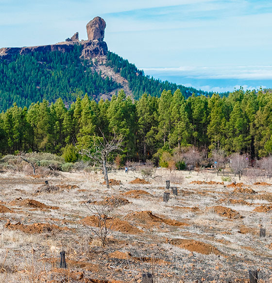
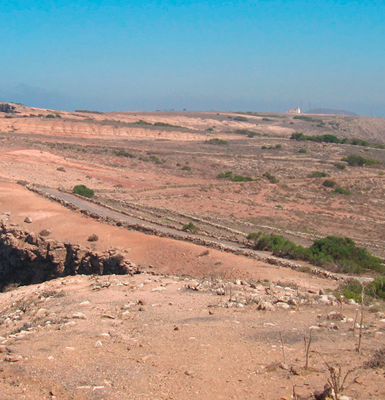
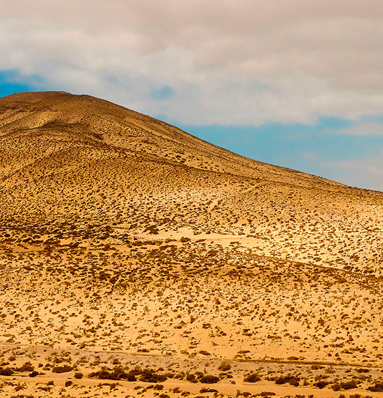
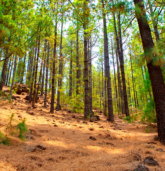
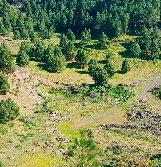
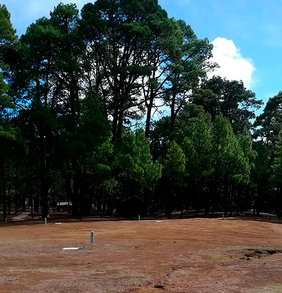
Seven islands and lots of maps to reveal everything Canary Islands can offer the sport of orienteering. The variety of landscapes and terrains on the islands allow you to run over microreliefs, through pine and laurel forests and elevation variances that put the limits of the orienteer to the test. The Canary Islands archipelago has a very diverse range of places with conditions that are perfect for adapting the route to both beginners and elite orienteers. And all with pleasant temperatures at any time of year. The following maps contain different types of orography, some that are above 1500 metres and others at sea level, for training in all of the techniques of the sport and finding the control points. They are registered with the Spanish Federation of Orienteering and meet ISOM2000 specifications. The equidistance is always 5 metres and the scales go from 1:5,000 up to 1:10,000 and 1:15,000. For anyone who would like to choose their route and explore the archipelago with a compass, orienteering in Canary Islands involves events, competitions and races for all levels and on all the islands. Federation clubs provide the resources required to make this the best plan.
Islands
Municipality