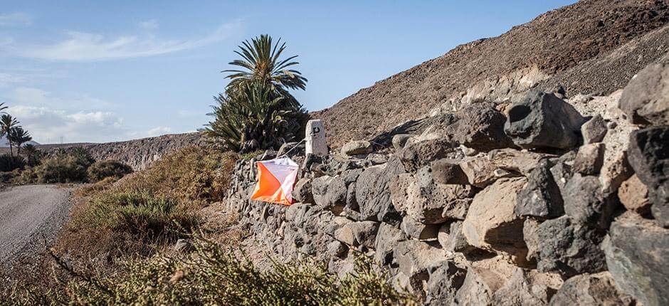
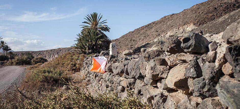
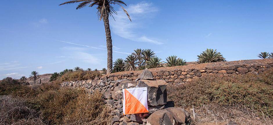
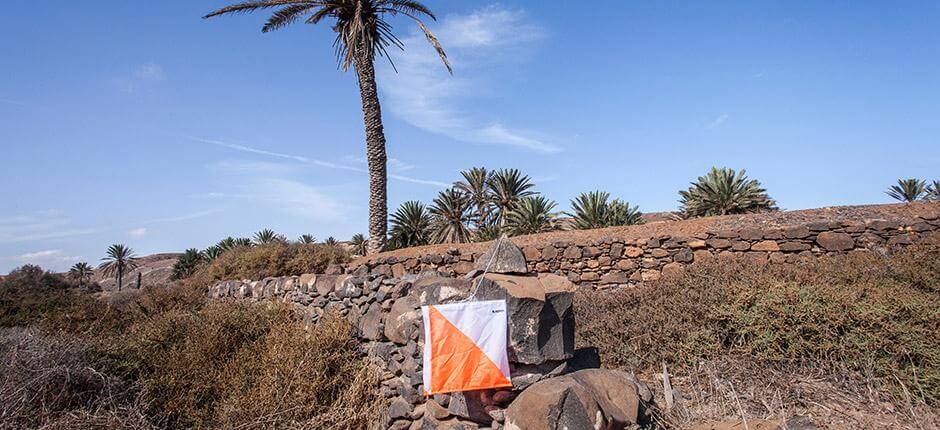
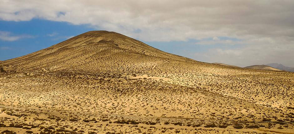
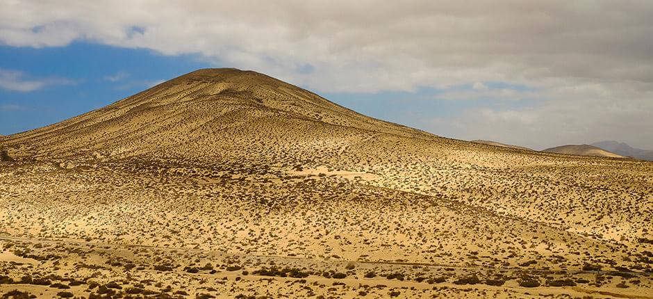
Orienteering map of Costa Calma

Orienteering on the dunes of Fuerteventura

Almost from the beach of Costa Calma itself, in the municipality of Pájara (peninsula of Jandía, south of Fuerteventura), you can start an orienteering route that will challenge you to run over dunes and sandy terrain, get through the area's typical, low vegetation and be amazed by some little pine forests. Your effort will be rewarded by the chance to enjoy the beach of Costa Calma, which has spectacular yellow sand and all the amenities.

A unique map in Fuerteventura

A varied, fun, demanding and very unusual map. The sandy terrain, the low vegetation and the elevation variance make for a demanding day's orienteering. You will have to read carefully and navigate difficult turns. The best thing is that, once you have completed the course, the same map contains a beautiful beach that you can combine with a visit to the peculiar nearby villages or enjoy the extensive leisure options in the tourist resort of Pájara.

Parking
WC
Localidad
Pájara
Downloadable files selection
Archivos
Imagen Archivo
Título Fichero
Mapa Costa Calma orientación de Fuerteventura
jpg

TENERIFE

TENERIFE

GRAN CANARIA

GRAN CANARIA

FUERTEVENTURA

FUERTEVENTURA

LANZAROTE

LANZAROTE

LA GRACIOSA

LA GRACIOSA

LA GOMERA

LA GOMERA

LA PALMA

LA PALMA

EL HIERRO

EL HIERRO
Sustainability
Sostenibilidad
- Never leave waste of any kind in the environment, including cigarette butts. Food scraps contribute to the proliferation of rodents and feral cats that pose a serious threat to wildlife.
- Respect the animals, do not disturb or feed them. If you see any injured specimen, you can call the emergency telephone number 112. Do not pick flowers or plants either.
- Do not collect or take stones or any other element of the natural environment. Do not modify it either by stacking them to make the sadly famous "towers."
- Do not practice sports activities outside the permitted areas.
4
257
13
262
10045