


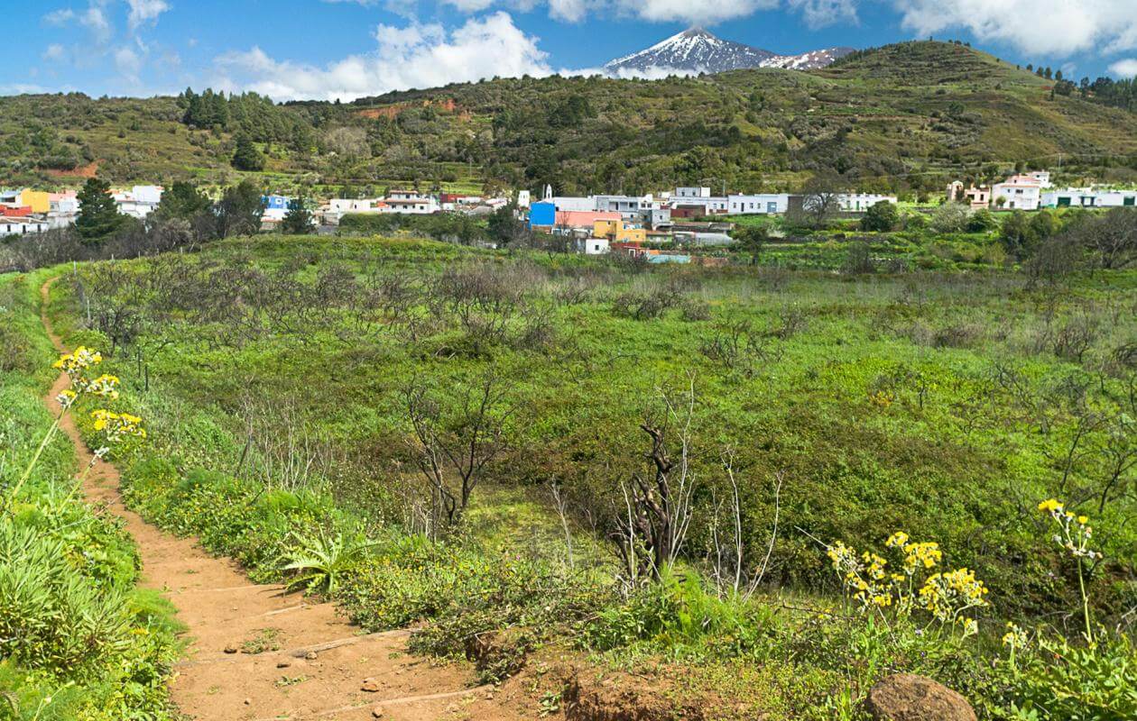


Historically, this town has been very important because the Erjos port acts as the junction between the northern and southern sides of the island. This area was dedicated to the cultivation of cereals, but the waning of this occupation at the beginning of the 19th century also resulted in the decline of this town. Erjos was also important along the route for transhumance.
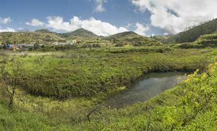
This small pool reveals one of the secrets of Monte del Agua: the Erjos pools in the Los Dornajos area. Aggregates and soil extraction in the past have made this area a humid zone, which is now of great significance with respect to bird life.
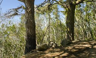
The beginning of the part of the trail that goes through the forest could not be more impressive than with the two colossal pine trees that appear at the curve of the road. They are "intruders" in this misty forest that traps the moisture-laden clouds brought by the trade winds. This moisture precipitates on the branches of these trees and this process not only gives the forest its name, but is also its main function.
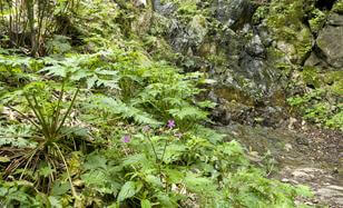
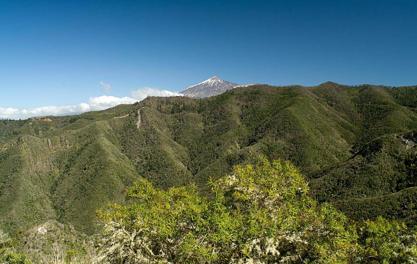
The laurisilva can be called a living fossil as these laurel forests covered the Mediterranean area millions of years ago, until climate change forced them to seek refuge in the Canary Islands and other areas of Macaronesia. This forest is very important because it can trap water, prevent erosion and provide a habitat for many endemic species, thus making it a key area when it comes to the conservation of biodiversity.
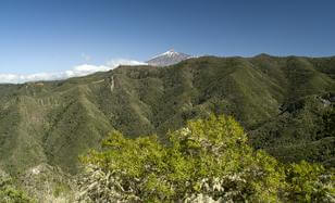
At this curve in the trail, you can see the Los Cochinos ravine which houses some of the best stretches of laurisilva in Monte del Agua. To the right, you have the Tierra de Trigos settlement, where the cultivation of cereals is in the name itself (trigo in Spanish means wheat). The central outcrop in this small basin is Roque de Las Moradas and is where the path used by the inhabitants of Los Silos to get to this forest went through; we have already passed the crossing with this path.
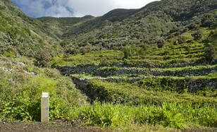
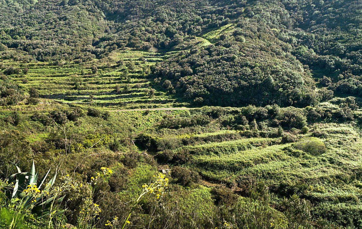
From this clearing in the forest, you have a small, open basin with terraced plots as also another plot that cannot been seen as it is higher up than the trail. This bend at practically the end of the trail has a number of examples where the need to grow crops superseded that of the forest. Around the plots, you still have fir and heath trees, which before probably used to cover the whole slope.
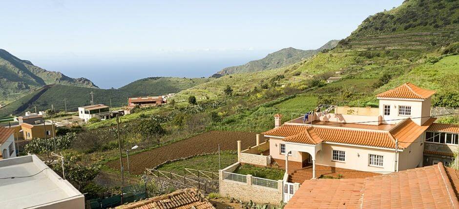
In the Palmar valley, the agricultural landscape has been preserved very well. This sloping, oval valley is located between Monte del Agua and the Teno ravines and its gradual slopes have been terraced to make the most of the fertile soil in this region. Palmar and Las Portelas, the volcanic cones in the valley, were responsible for the extension of section of the Isla Baja where Buenavista is located and they have been channelled by the valley itself.
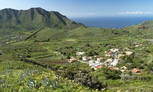
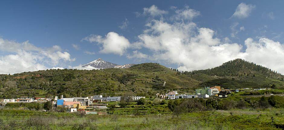
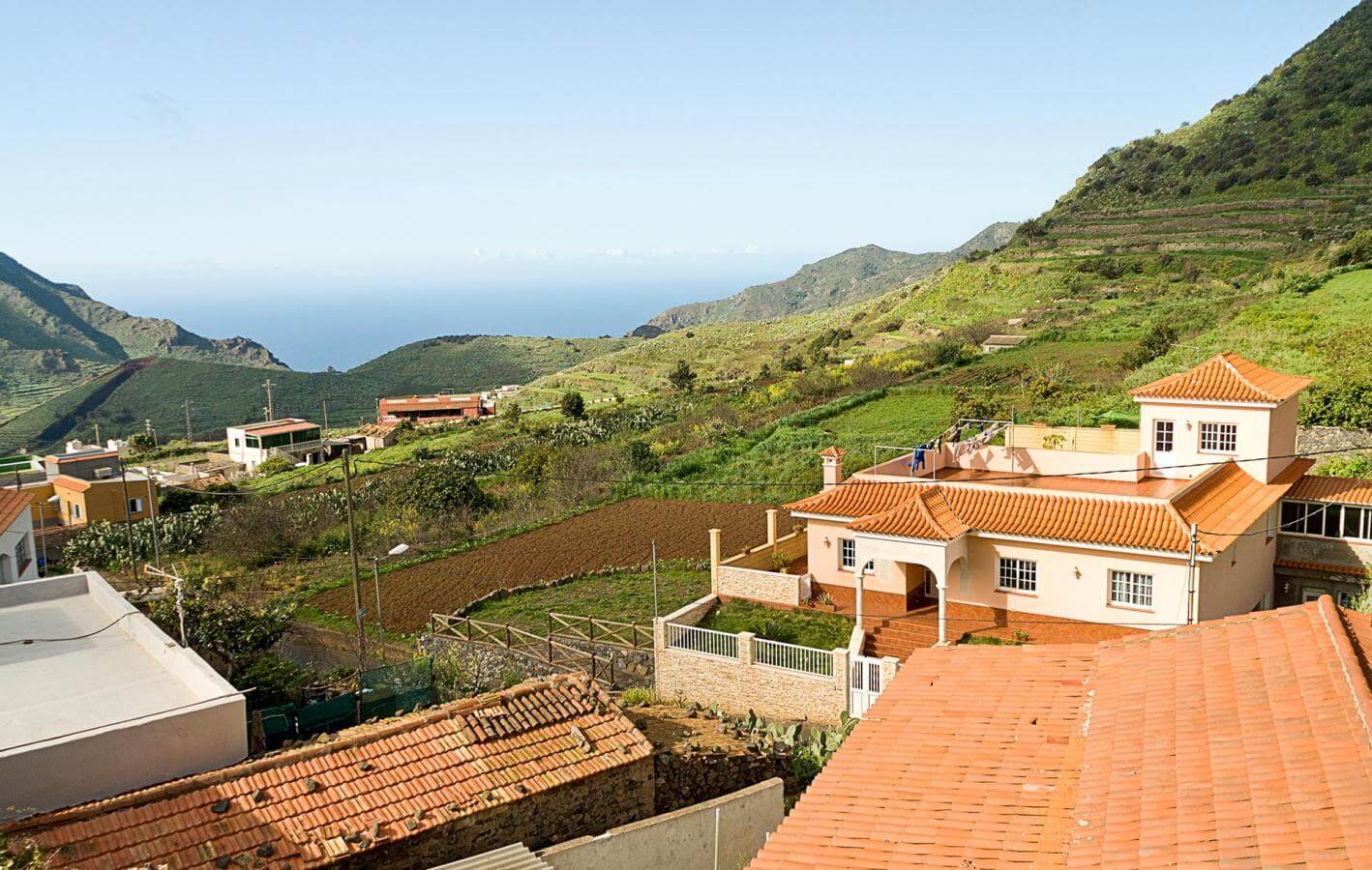
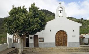
The trail ends in Las Portelas, a small rural settlement in the upper part of the Palmar valley. Here you can see examples of traditional residential architecture and enjoy the excellent view over the Palmar valley, which is in the centre of the Teno Rural Park, between Monte del Agua and the ravines that form the Los Gigantes cliffs in the western part of the island.
- Never leave waste of any type lying around, including cigarette butts. Leftover food leads to a proliferation of rats and wild cats, which pose a serious threat to the fauna.
- Respect the animals. Do not bother them or feed them. If you see an injured specimen, you can call the emergency number: 112. Do not pick flowers or plants.
- Do not pick up or take away stones or any other item from the natural environment. And do not move them to pile them up into sadly famous 'towers'.
- Respect the signposting along trails. Leaving the set paths causes damage to the environment and could also be dangerous for you and anyone with you.
- It is safer to keep your pet on a lead.
- Try not to alter the peace of the environment with excessive noise (loud music, yelling, etc.).