
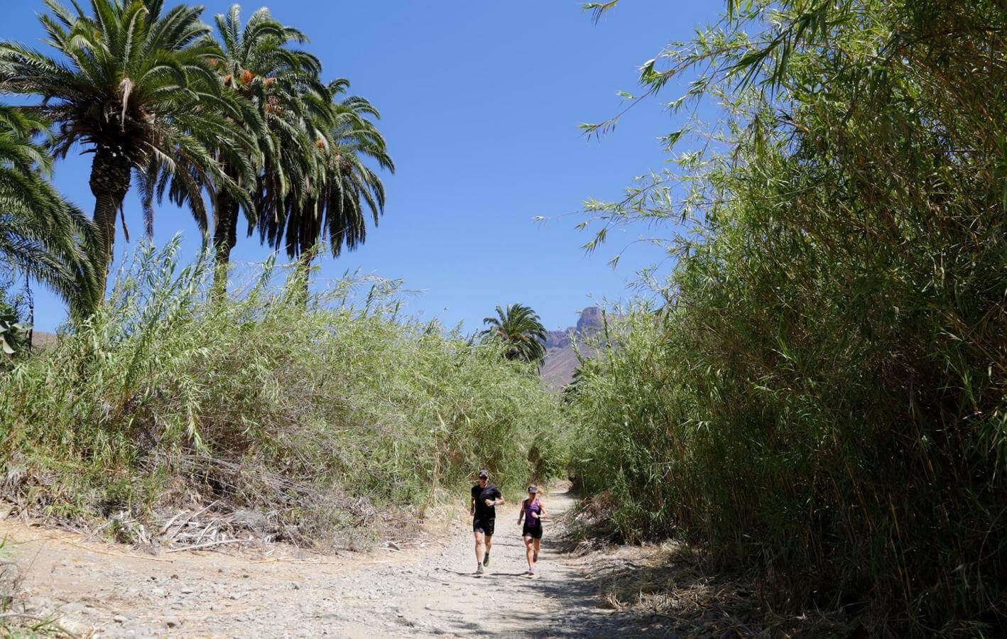
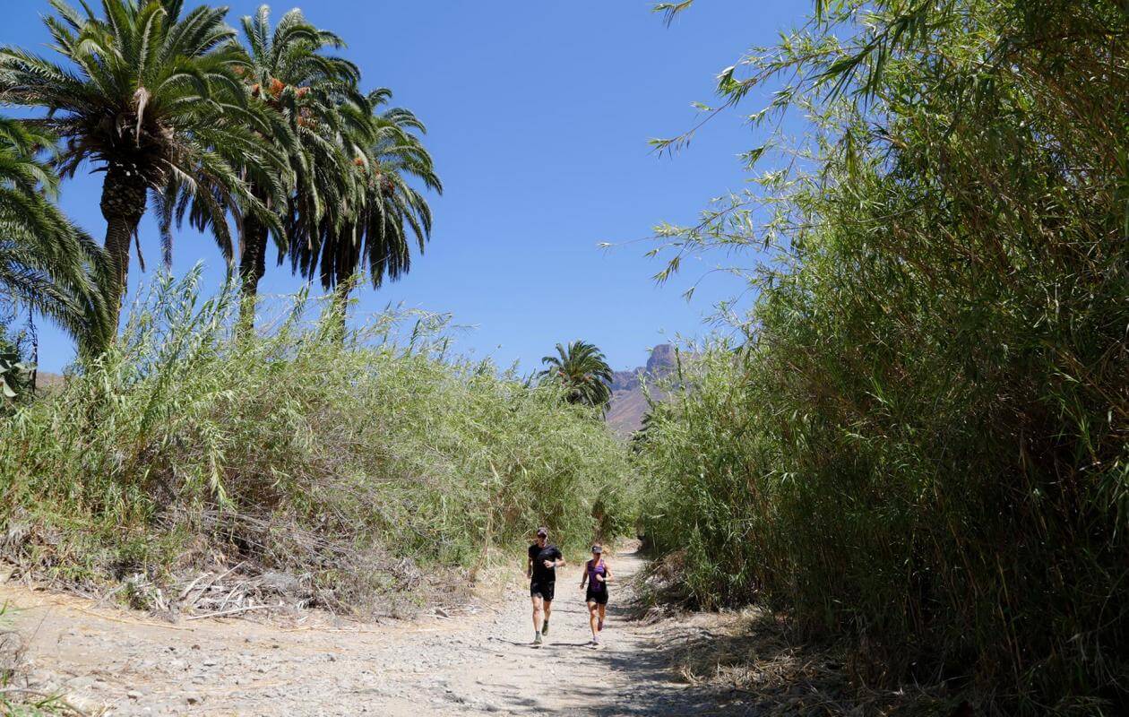
Localidad
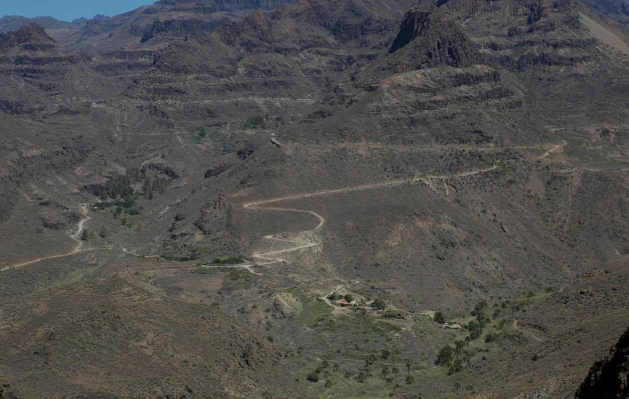
Tejeda - San Bartolome de Tirajana
Downloadable files selection
Archivos
Imagen Archivo

Título Fichero
Garañón - Maspalomas
pdf
Imagen Archivo
Título Fichero
Garañón - Maspalomas
zip
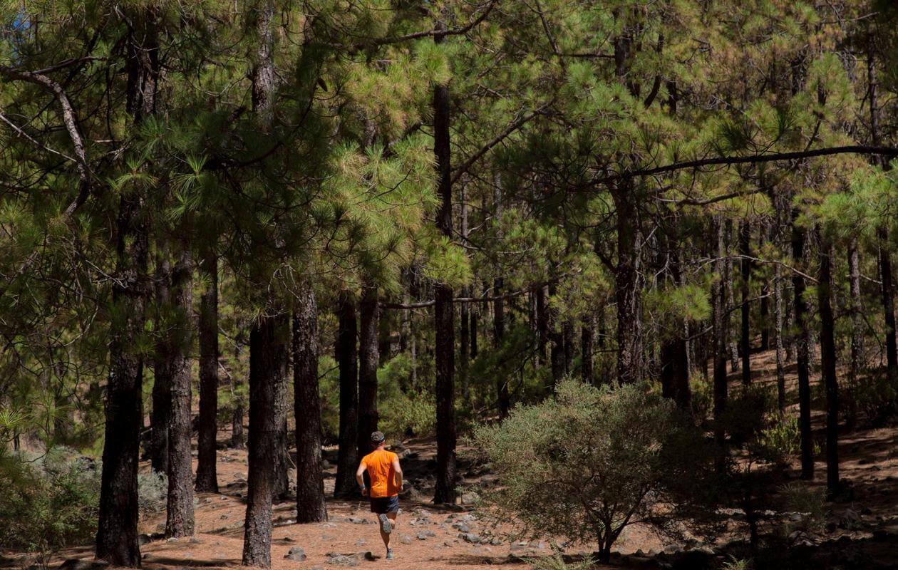
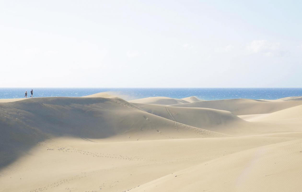
Imágenes
Imagen
Imagen
Imagen

Imagen
Imagen

Imagen
Imagen

Imagen
Sustainability
Sostenibilidad
- Lleva tu basura y colillas siempre contigo. Tampoco dejes comida en el medio, podría originar proliferación de gatos y ratas.
- No alimentes animales ni los molestes. En caso de ver algún animal herido, te agradecemos que te pongas en contacto con el teléfono de emergencias 112.
- No te lleves piedras ni otros elementos naturales del entorno. Tampoco realices modificaciones que puedan alterarlo como torres de piedras.
- No practices actividades deportivas fuera de las áreas permitidas