Ajuy

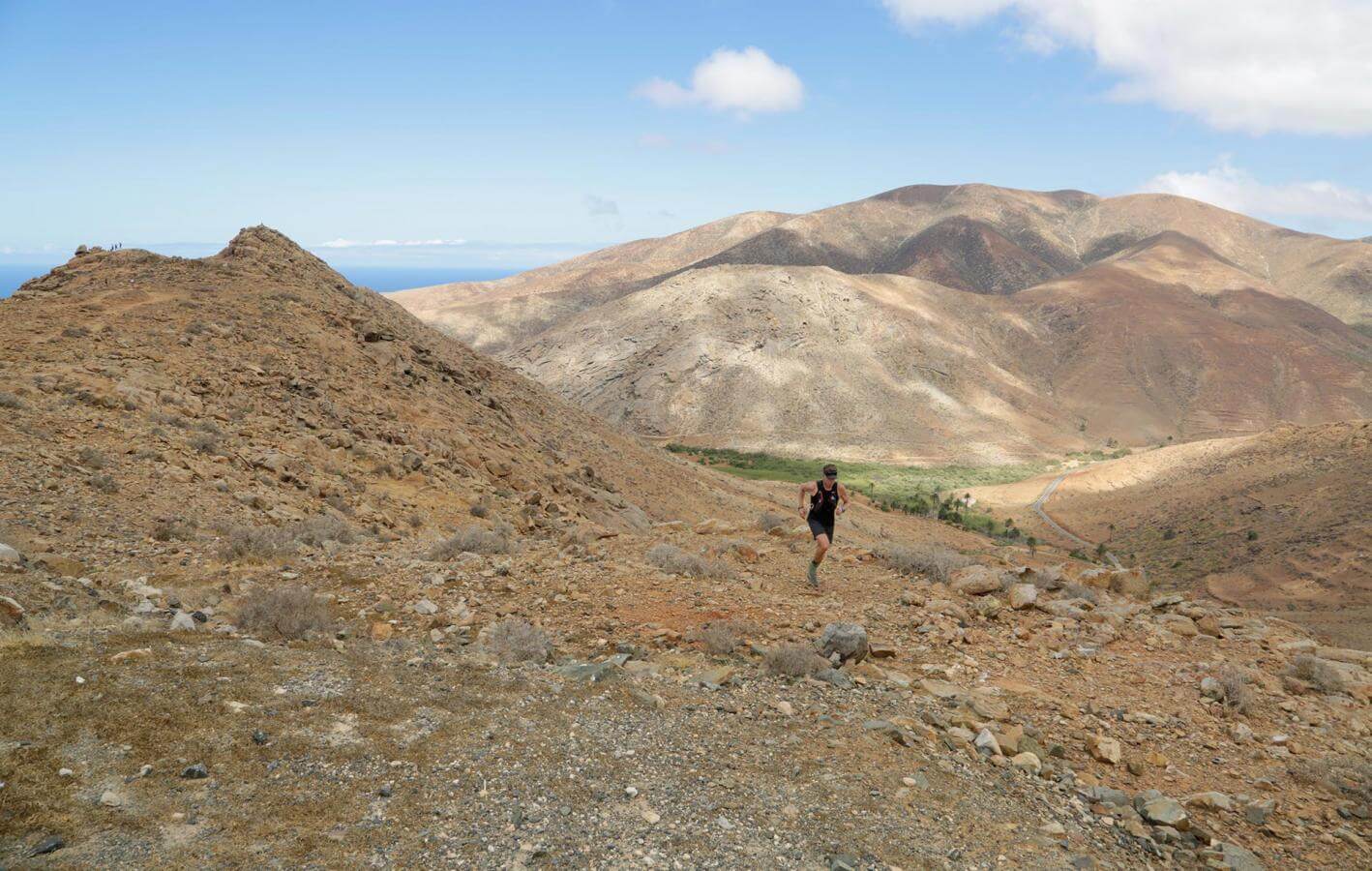
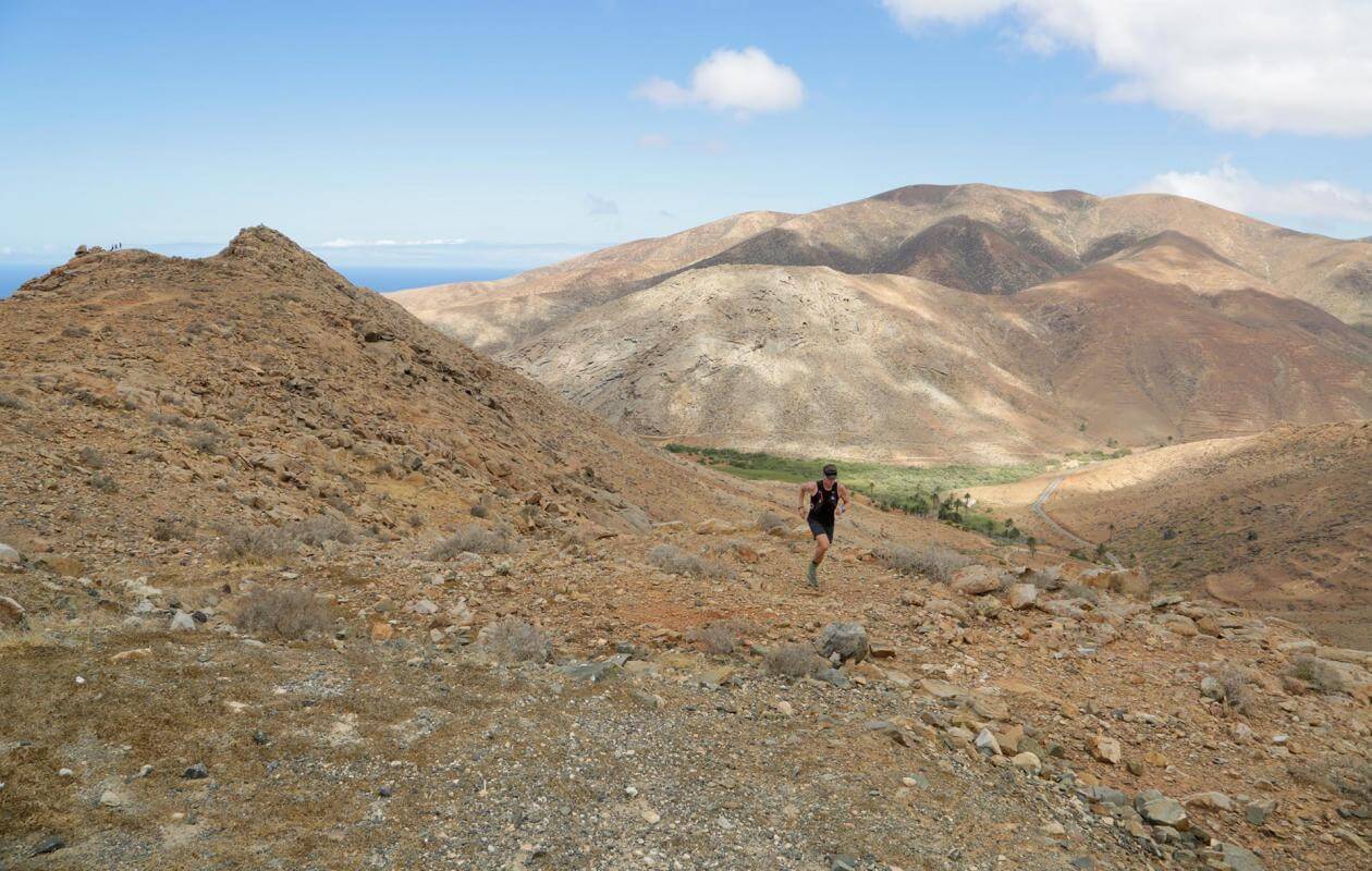
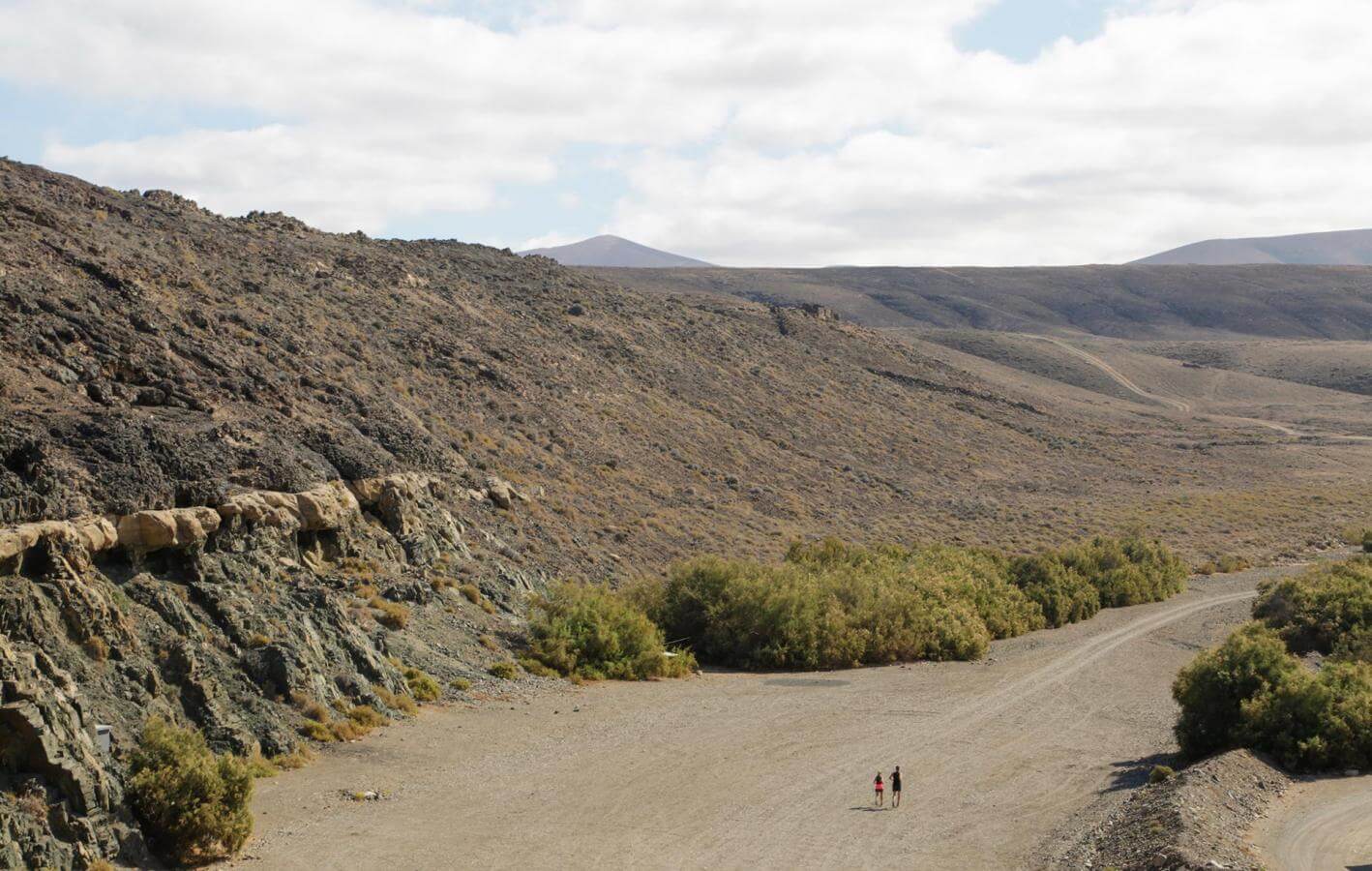
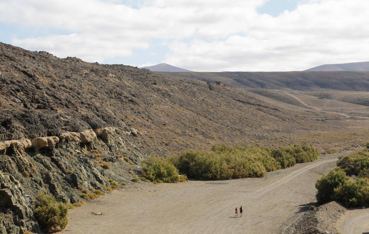
This route is situated on the west coast of Fuerteventura and begins in the village of Ajuy. It is situated in a mountainous areas of the island. It is a route where you will discover some of the most characteristic types of terrain that the island has. This is part of the Coast to Coast race.

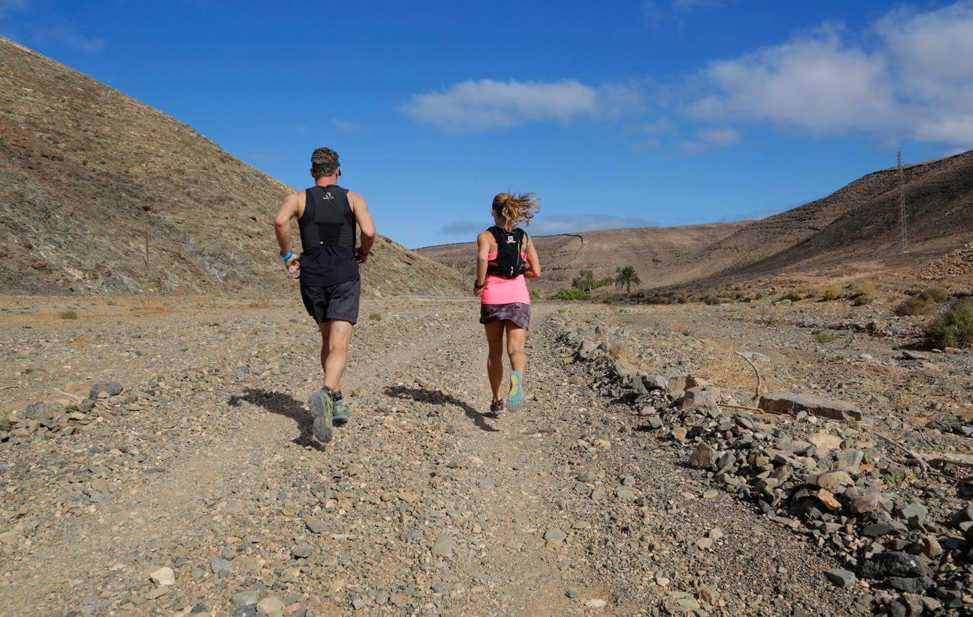
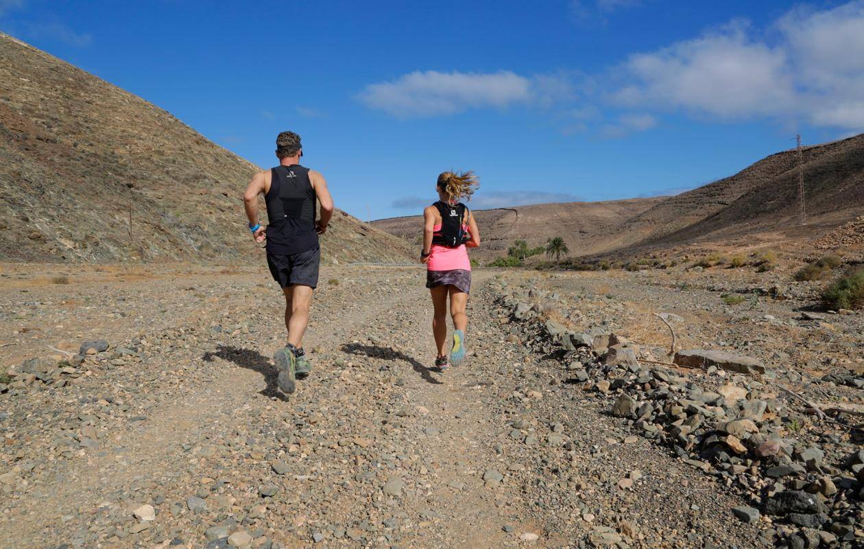
The route begins from the black sand and pebble stoned beach and continues along a wide and open dirt track until reaching the first climb that leads to the Peñitas Dam, through the Palm Barranco de Buen Paso.

Once passing the dam the trails continue towards a more technical climb. This climb makes its way up along a zig zag trail until reaching the top. Once arriving at the top, a long descent on dry and arid dirt roads continues towards Tuineje.On this route you have views of typical sandy coloured volcanic mountains and volcanic dirt tracks of Fuerteventura.

Distance
27 km
Negative slope
1.400 m
Positive slope
1.600 m
Localidad
Ajuy
Downloadable files selection
Archivos
Imagen Archivo
Título Fichero
Ajuy
pdf
Imagen Archivo
Título Fichero
Ajuy
zip

TENERIFE

TENERIFE

GRAN CANARIA

GRAN CANARIA

FUERTEVENTURA

FUERTEVENTURA

LANZAROTE

LANZAROTE

LA GRACIOSA

LA GRACIOSA

LA GOMERA

LA GOMERA

LA PALMA

LA PALMA

EL HIERRO

EL HIERRO
Sustainability
Sostenibilidad
- Lleva tu basura y colillas siempre contigo. Tampoco dejes comida en el medio, podría originar proliferación de gatos y ratas.
- No alimentes animales ni los molestes. En caso de ver algún animal herido, te agradecemos que te pongas en contacto con el teléfono de emergencias 112.
- No te lleves piedras ni otros elementos naturales del entorno. Tampoco realices modificaciones que puedan alterarlo como torres de piedras.
- No practices actividades deportivas fuera de las áreas permitidas
4
257
13
262
10045