
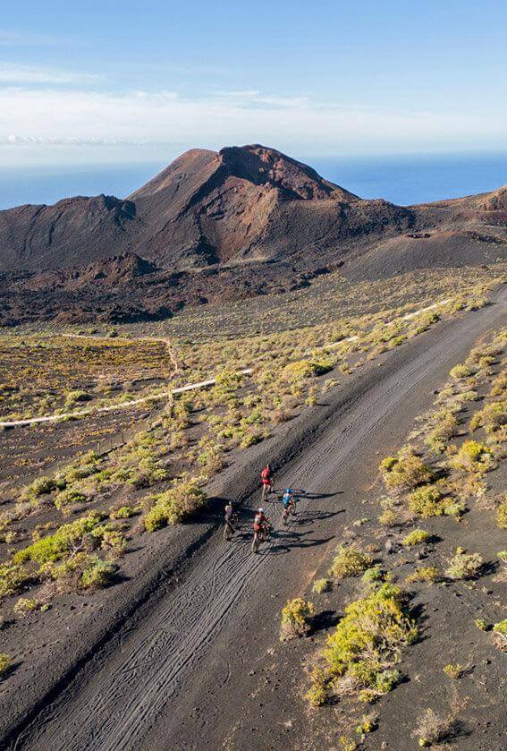
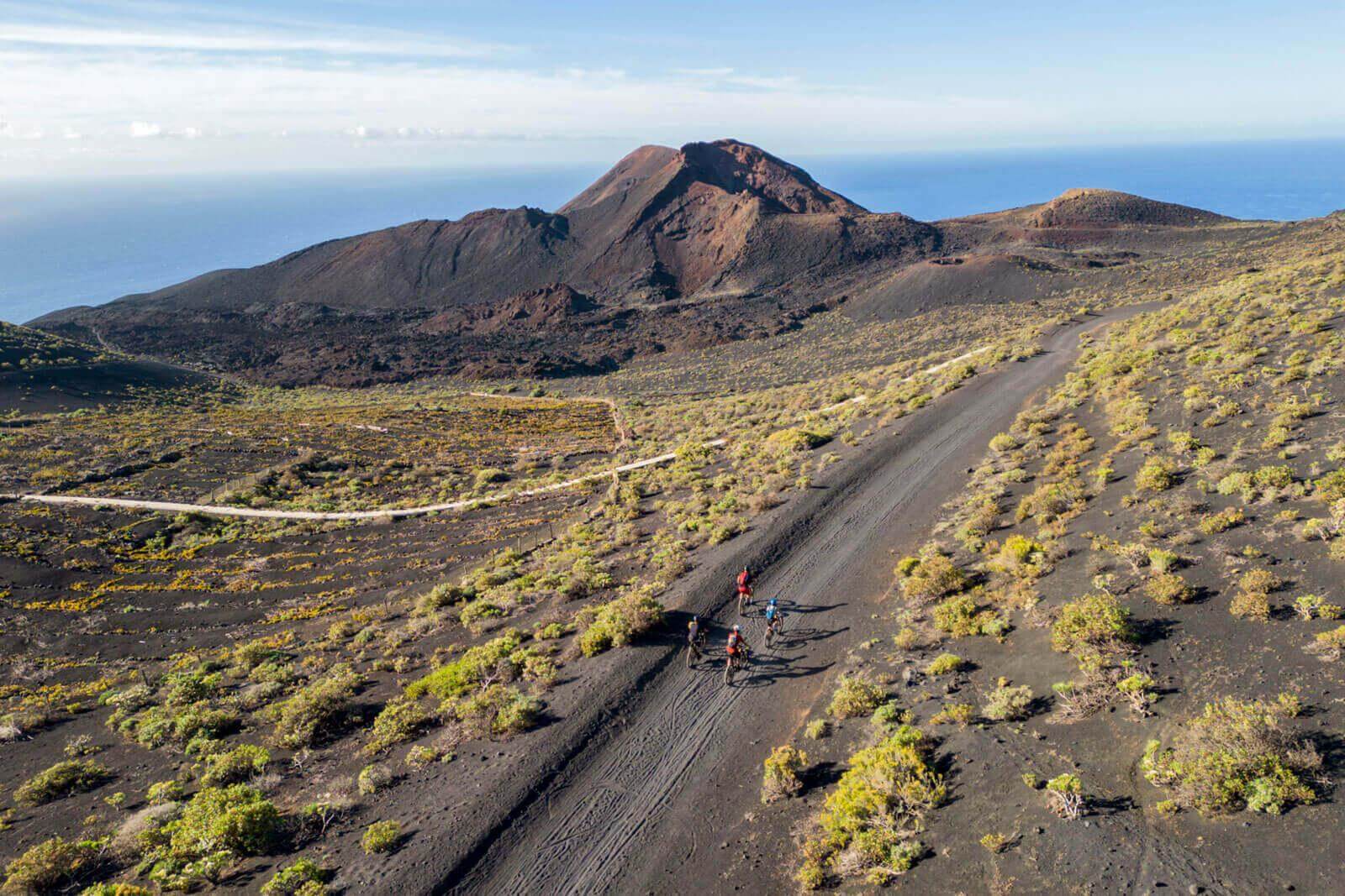
At just three million years of age, La Palma is still in an active stage of formation. This explains why the island undergoes frequent seismic activity, and the fact that volcanic eruptions have been recorded there since the 16th century, the period the first chronicles of the archipelago go back to.
To understand what happened during the volcanic eruption on La Palma in 2021, we first need to find out about its geological context. The “Isla Bonita” is one of the youngest islands in the Canarian archipelago and is still in an active stage of formation. Like its sister islands, it is of volcanic origin and has some sedimentary and fossil records.
Nothing relevant had been recorded in La Palma since the eruption of Teneguía, in 1971. However, this new volcano had been developing for four years, when multiple earthquakes were detected and after the reactivation of seismic activity in early September 2021.
The eruption begins: when magma looks for a way out
11 September 2021 was the day when the seismic movements, which were already starting to give rise to a weak deformation of the terrain, began to be linked to the ascent of magma below the surface. This phenomenon, however, should not always be taken as a synonym of an eruption.
The first quakes are caused by the fracturing of the terrain due to the thrust of the magma. Which is why, when it was detected that the earthquakes’ hypocentres had risen from depths of 20 kilometres to just a few kilometres, it became clear that the magma was already close to the surface, although it is impossible to predict when it will erupt, even with these measurements.
The phenomenon was also captured by satellites and GPS devices located on the island, allowing for corroboration of a vertical deformation of up to 15 centimetres between the regions of Jedey and El Paso: another sign of the presence of magma close to the surface.
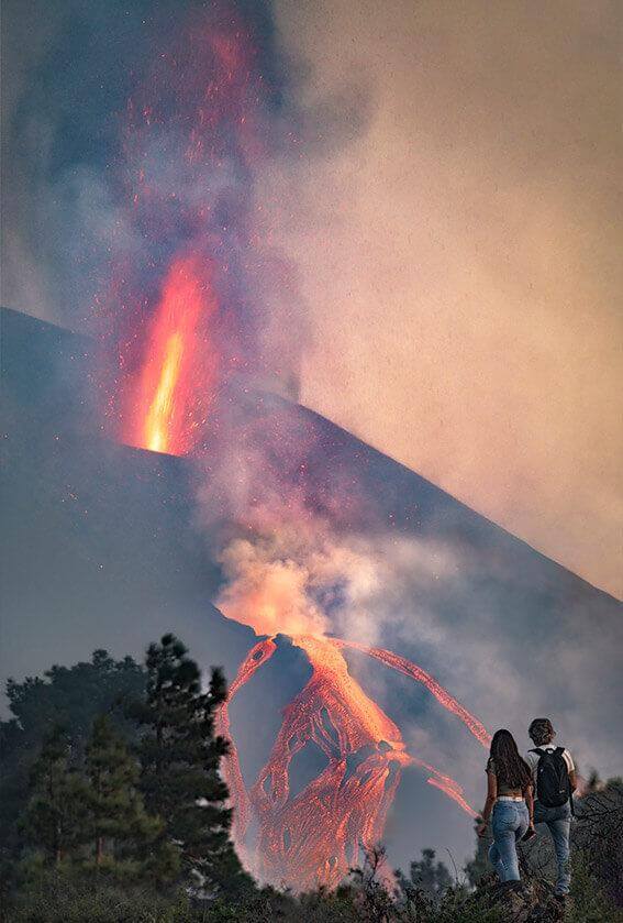
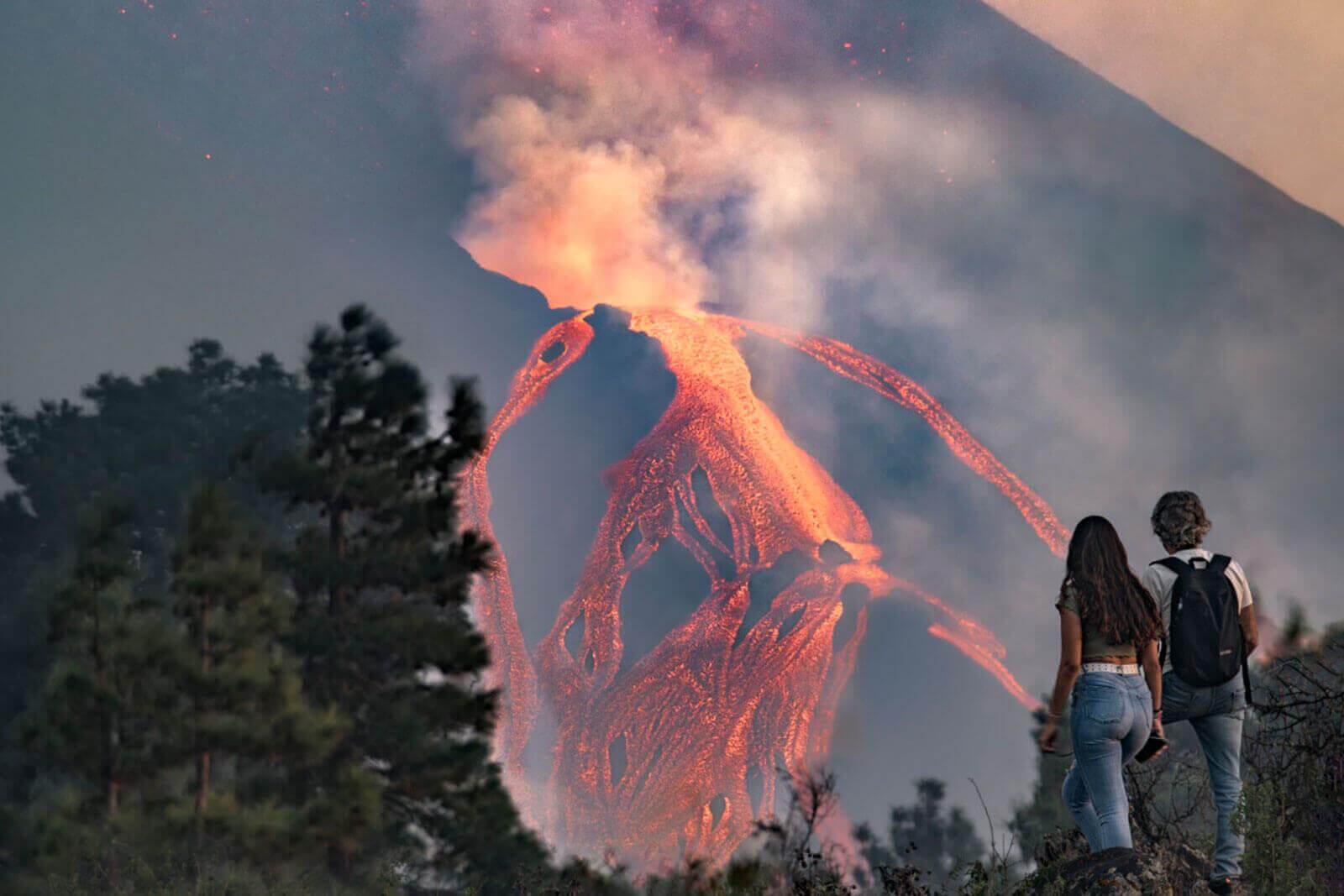
The pressure brought to bear by the lava eventually broke the surface, releasing columns of volcanic gases and pyroclasts. After this, block lava flows emanated - masses of lava at temperatures of between 1000 and 1200 ºC, capable of destroying everything in its path.
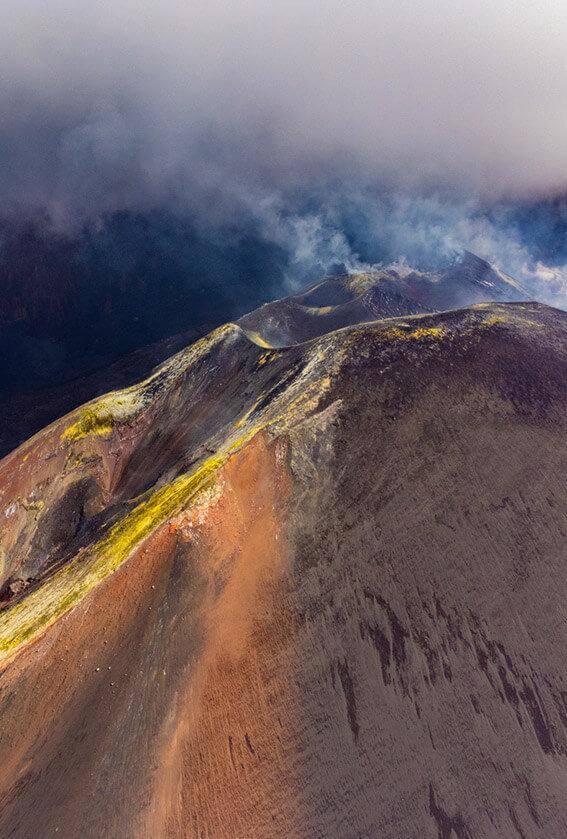
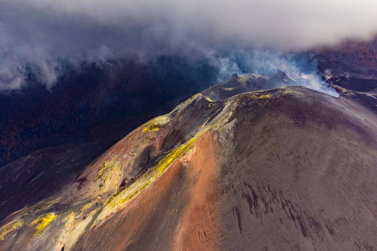
How many craters did La Palma’s new volcano have?
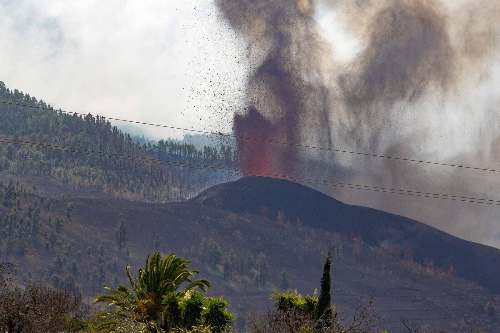
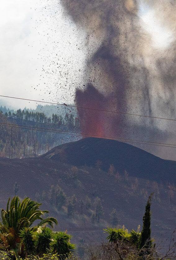
Unlike the image we all have in our head of a volcano with a single crater, the eruptions in the Canary Islands are usually fissural. This has been the case throughout history, and is also true of the last eruption that took place in La Palma. This type of eruption is defined by the appearance of fractures in different parts of the previous terrain, which start to issue forth gases and lava.
Originally, at times of peak activity, the volcano had up to 15 emission centres which functioned simultaneously. Four of them remained active throughout nearly all the eruption. On 1 October, near the main mouth of the volcano, other fissures opened up, coming to number as many as 14. And although not all were deemed active or of equal risk, neither was the appearance of other new ones ruled out at any time, as the change was constant.
A fully-monitored volcano
The volcanic activity of the Canary Islands is monitored permanently. This meant that during the eruption, it was possible to carry out real-time monitoring of processes such as seismicity, volume, type and temperature of lava expelled, the deformation of the terrain, the amount and composition of the gases emitted, the pyroclastic material and its dispersion, the speed and chemical composition of the lava flows and the composition of the atmosphere, the underwater growth of the lava deltas and the composition of the seawater, as well as the condition of the underground water, biodiversity and soils, among others.
Some of the major protagonists of this monitoring process were drones, which were employed for a volcanic emergency in our country for the very first time. Their images not only enabled scientists to see and study the phenomenon from closer quarters, but also reduced the risk for affected people and anyone who intervened.
The seismic movements associated to the eruption were a key factor for understanding the beginning, progress and end of the eruption. And this was achieved thanks to a fibre optic cable, which allowed signals to be transmitted quickly to the National Geographic Institute (IGN) and the Volcanological Institute of the Canary Islands (Involcan).

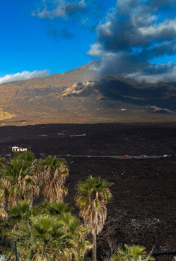
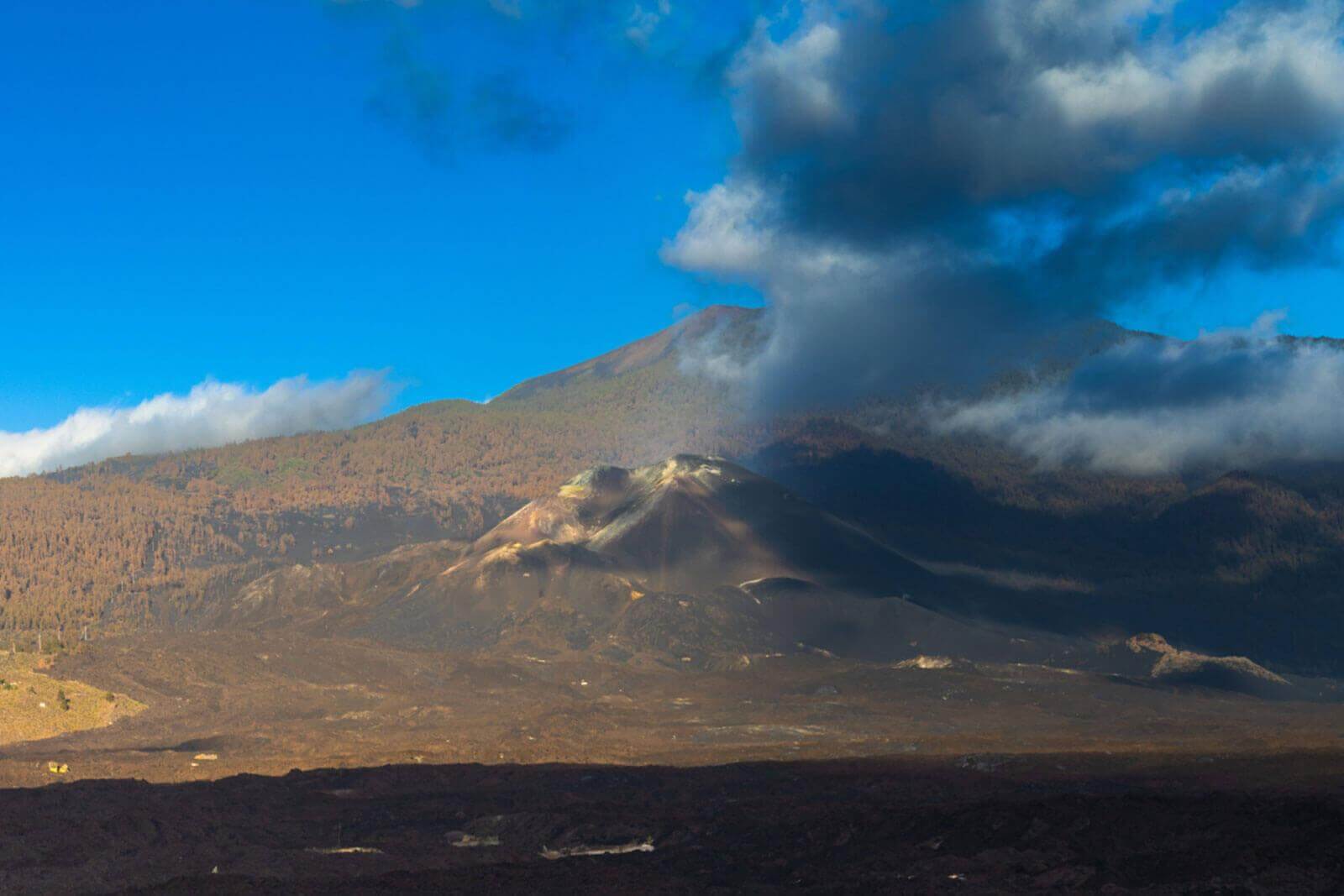
At present, hundreds of scientists and professionals are still working to ensure La Palma continues to be a magical place to be in. A fascinating island which, despite the eruptions, has not lost a single atom of its natural beauty and where, as well as unique volcanic phenomena, one can enjoy a rich culture and gastronomy, surprising nature and nighttime skies studded with stars that have led to the whole of the “Isla Bonita” being declared a Biosphere Reserve.
Our thanks to Dr. Juana Vegas Salamanca, Coordinator of the Heritage and Geodiversity Research Team at the Geological and Mining Institute of Spain (Spanish National Research Council) for her collaboration on the creation of this article.