Located in the north-west of the archipelago, La Palma is the fifth-largest and populated of all the Canary Islands. It is known as “La Isla Bonita” or “La Isla Corazón” (heart island, because of its shape), and has the second-highest peak in the archipelago, Roque de los Muchachos, which stands 2,426 metres above sea level. Of volcanic origin, La Palma is estimated to have emerged from the bottom of the Atlantic between three and four million years ago.
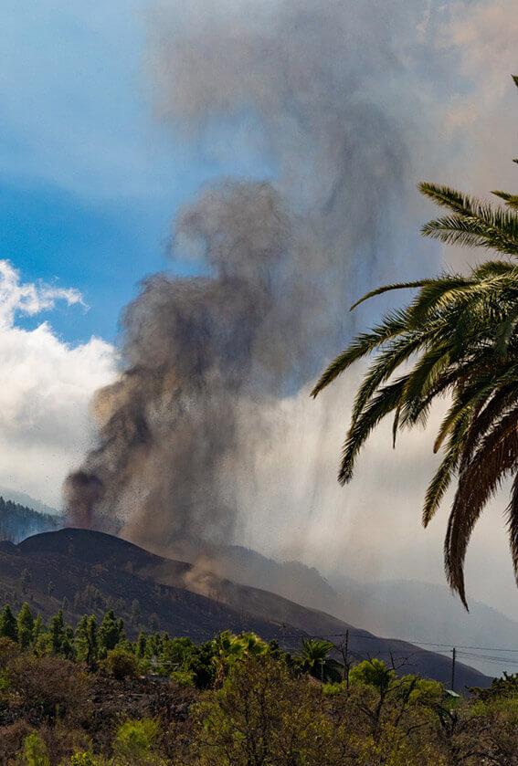
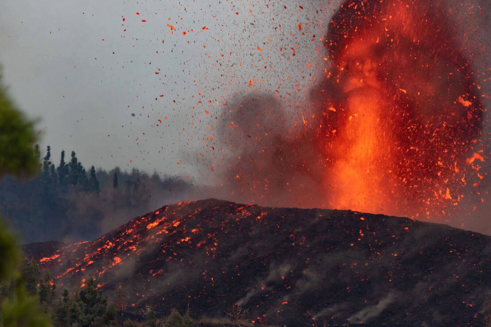
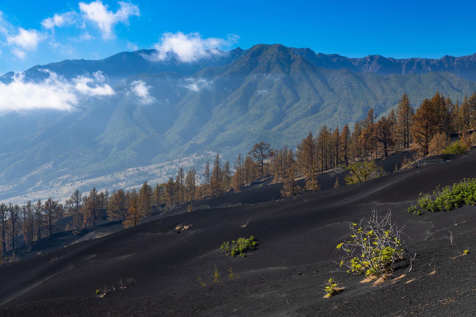
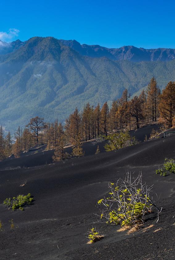
On 19 September 2021, in the Cumbre Vieja area, volcanic activity was reactivated, giving rise to an eruption that lasted for 85 days, breaking the island’s record for the longest-ever eruption. The activity began in the Cumbre Vieja Natural Park, in the southern part of La Palma, which is the island’s active volcanic ridge.
A volcano with an eruption classified as Strombolian
Still without an official name at the time, La Palma’s new volcano was characterised by constant change and evolution, leading scientists to classify it as a long-lasting, hybrid eruption. At its force peak, the main cone rose nearly 200 metres in height above the previous surface, coming close to 1200 metres above sea level, although it underwent different changes in its morphology due to various collapses resulting from the volcanic activity.
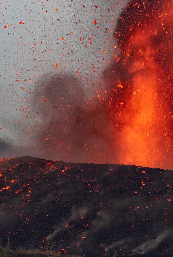
This type of volcano is classified within the category of Strombolian eruptions, characterised by emitting basaltic lava with a Volcanic Explosivity Index of three on a scale of eight, where the maximum height of the eruptive column does not exceed 10,000 metres, and the temperature of the lava oscillates between 1200 and 1000ºC.
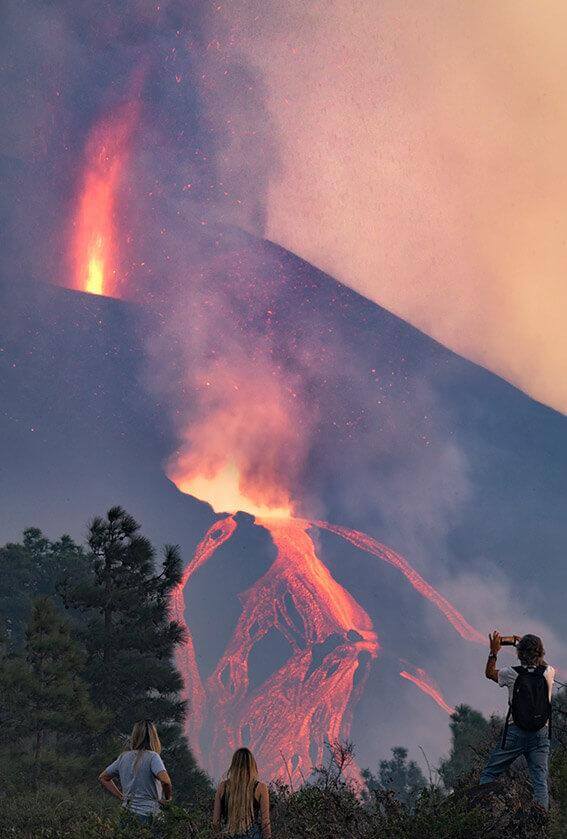
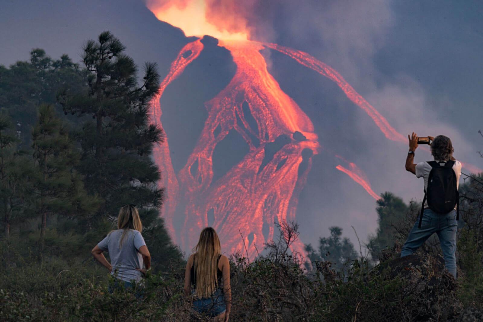
The lava, meanwhile, was also extremely variable throughout the entire eruption process. The ‘aa’-type block lava flows moved forward on average by about 400 metres an hour, while in the cordada or pahoehoe areas - where the lava is more fluid - the speed reached over 40 kilometres an hour.
La Palma, a volcanic legacy of over three million years
Two major volcanic domains can be seen on the island. The oldest one is located in the northern section. It is inactive and its rounded shape combines the Taburiente edifice and the arch of Cumbre Nueva.
In the southern area, we find the Cumbre Vieja Ridge, a more modern domain, although it is smaller in size and altitude. In it, volcanic activity has migrated for 125,000 years, or to put it another way, from the Upper Pleistocene to our times. It is one of the most active volcanic areas of the entire Canarian archipelago. It was here, on the Cumbre Vieja Ridge, that the seven eruptions to have taken place on the island over the past 500 years were recorded. And now we have to add to them the last one, which occurred in 2021, affecting 10% of the surface of La Palma and causing damage to local properties, businesses and infrastructure.
Exploring the volcano route
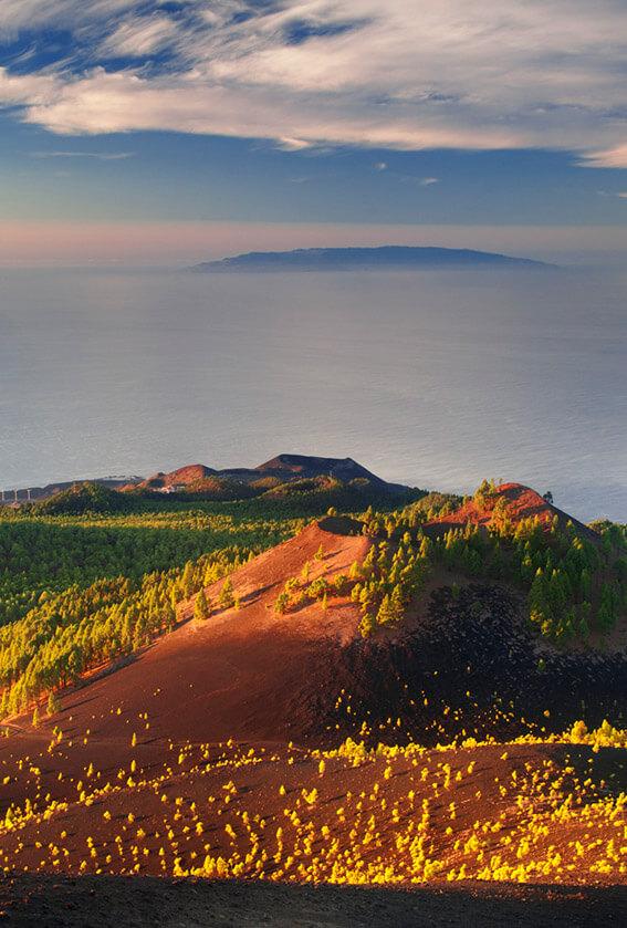
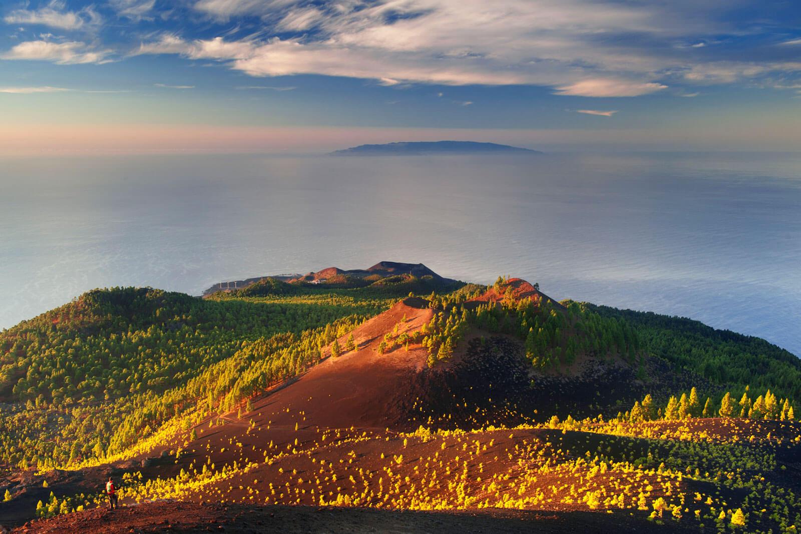
The best way to discover the volcanic landscape of Cumbre Vieja up close is through the volcano route. A 22-kilometre excursion in total, with an elevation of more than 1,200 metres, reaching nearly 2,000 metres at the crest and affording unique views of the island’s two flanks.
A hike with a difficulty level of moderate to high, lasting approximately eight and a half hours, which is fully prepared for walkers, and is currently one of the most popular and busiest routes on the island. Setting out from the camping area located in Refugio del Pilar, the main volcanoes this route runs through are the Birigoyo, the Hoyo Negro crater, El Duraznero, La Deseada, El Charco, Martín de Tigalate, San Antonio and finally, Teneguía. If you are still hungry for more, the route can be extended as far as the lighthouse and the saltworks of Fuencaliente, where you can enjoy the endemic species and vegetation of the island with beautiful volcanic scenery as a backdrop.
Our thanks to Dr. Juana Vegas Salamanca, Coordinator of the Heritage and Geodiversity Research Team at the Geological and Mining Institute of Spain (Spanish National Research Council) for the information in this article.


