
Localidad
La Restinga
Downloadable files selection
Archivos
Imagen Archivo
Título Fichero
La Restinga
pdf
Imagen Archivo
Título Fichero
La Restinga
zip
Imágenes
Imagen
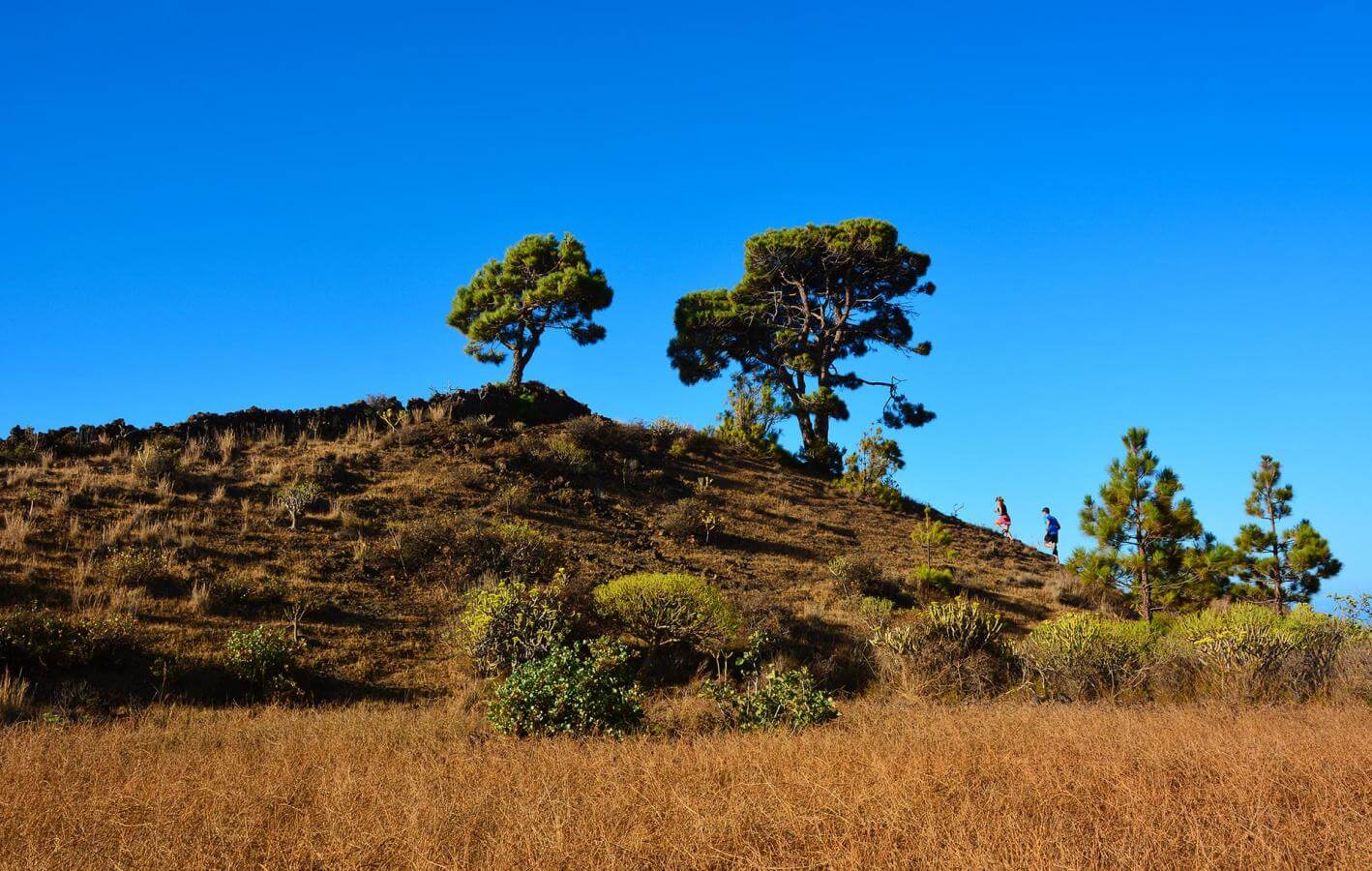
Imagen

Imagen
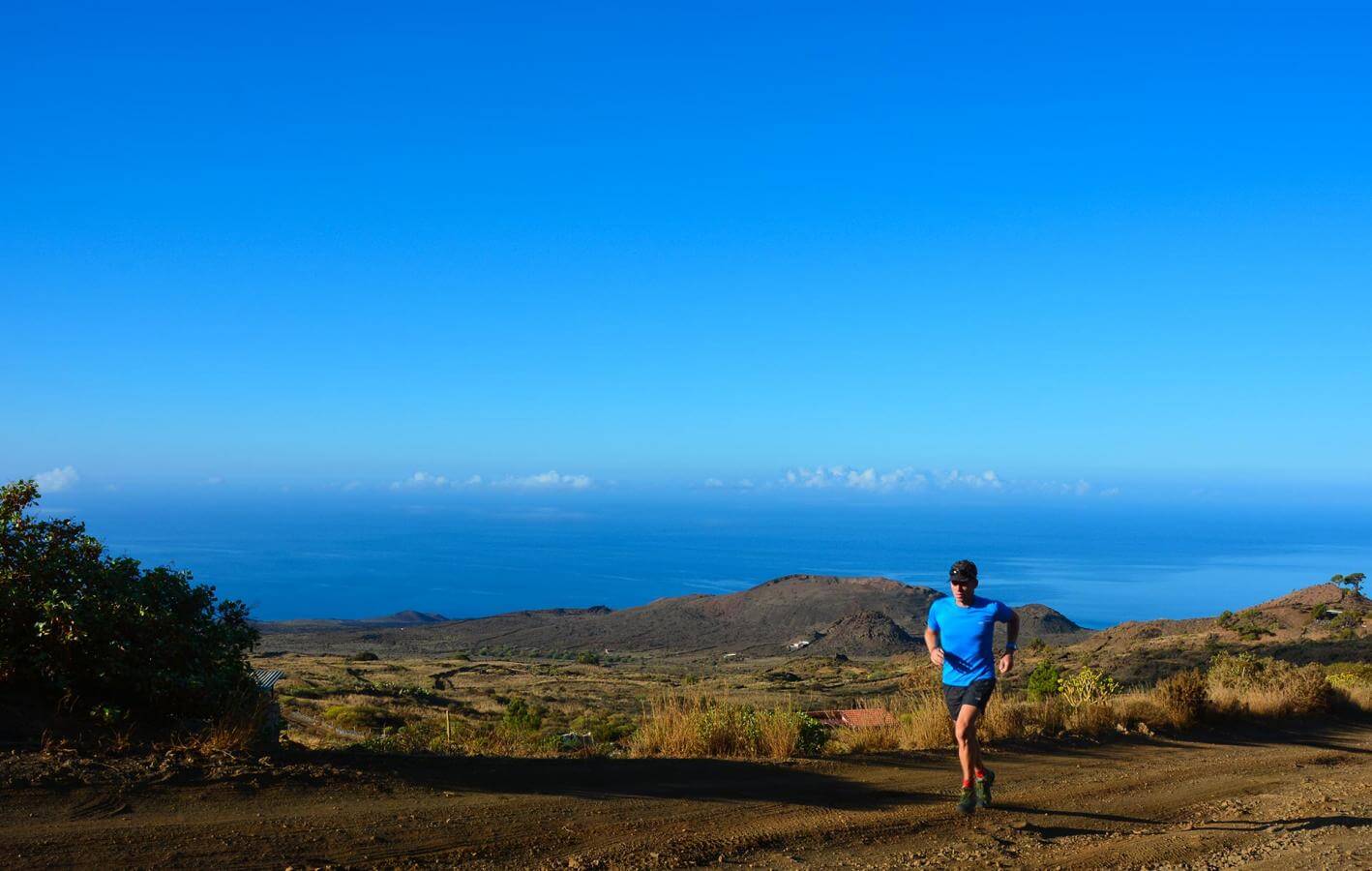
Imagen

Imagen

Imagen
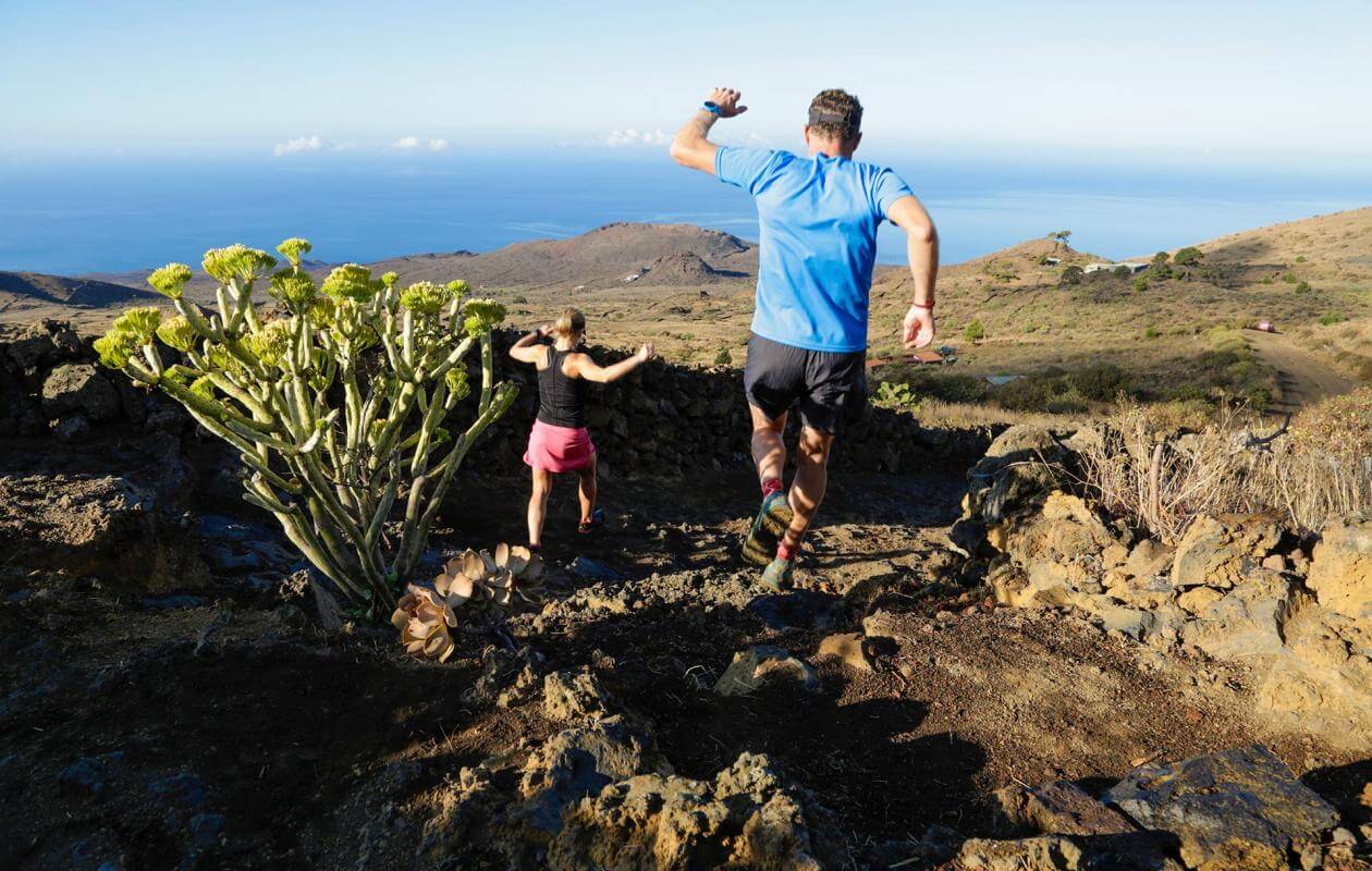
Imagen

Imagen

Sustainability
Sostenibilidad
- Lleva tu basura y colillas siempre contigo. Tampoco dejes comida en el medio, podría originar proliferación de gatos y ratas.
- No alimentes animales ni los molestes. En caso de ver algún animal herido, te agradecemos que te pongas en contacto con el teléfono de emergencias 112.
- No te lleves piedras ni otros elementos naturales del entorno. Tampoco realices modificaciones que puedan alterarlo como torres de piedras.
- No practices actividades deportivas fuera de las áreas permitidas