

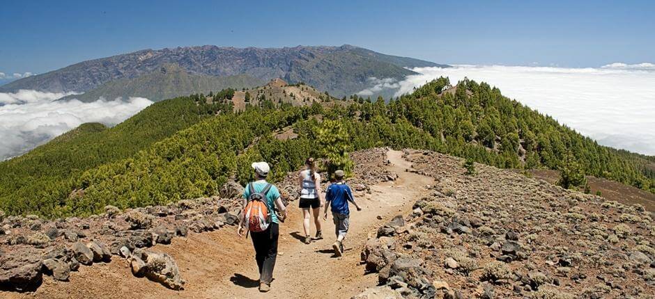


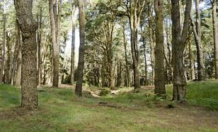
The trail begins at the El Pilar refuge, a large glade on the peak that has historically been a crossroads for the routes across the dorsal south of the island. The refuge has a visitor information centre for the trail.
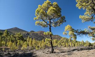
Here it goes through a forest of Canary pine, the most abundant type of vegetation along this trail. However, from the peaks, you will be able to see some Monteverde forests in the lower areas on the windward side to your left.
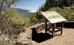
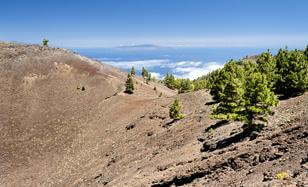
From this small look-out point, you can observe the geological development of the island. You can see the Los Llanos de Aridane valley which was created by a huge landslide, one of the typical destructive processes that has shaped the Canary Islands archipelago.
The Cumbre Nueva arch and the Bejenado volcano opposite the look-out point, which closes in the Caldera de Taburiente basin, are testament to this phenomenon. Bejenado dates back to the last geological phase in the creation of the northern and central parts of the island, before volcanic activity moved over in the last 200,000 years to Cumbre Vieja on the southern side - the area covered on this trail.

This small bridge crosses a fault that was created by the seismic activity that accompanied the eruption of the San Juan volcano in 1949. The pressure generated by the magma as it travels up to the mouth of the volcano leads to such tremors. This fault is a break in the Earth's crust caused by the energy released by the magma.
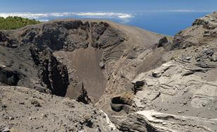
From this look-out point, you can see Hoyo Negro, the main outlet of the eruption in 1949 of what is known as the San Juan volcano, as the eruption began on the day of this Saint.
The eruption of Hoyo Negro began on June 24, 1949 and continued with ups and downs until July 31, when it moved on to a stage of fumaroles. Hoyo Negro, the most important explosive centre, erupted on July 12 and led to significant seismic activity. The eruption took place in seven stages, with the third stage between July 11 and 15 being the most intense, when Hoyo Negro erupted in large Vulcanian columns.
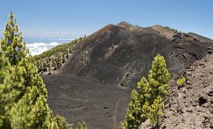
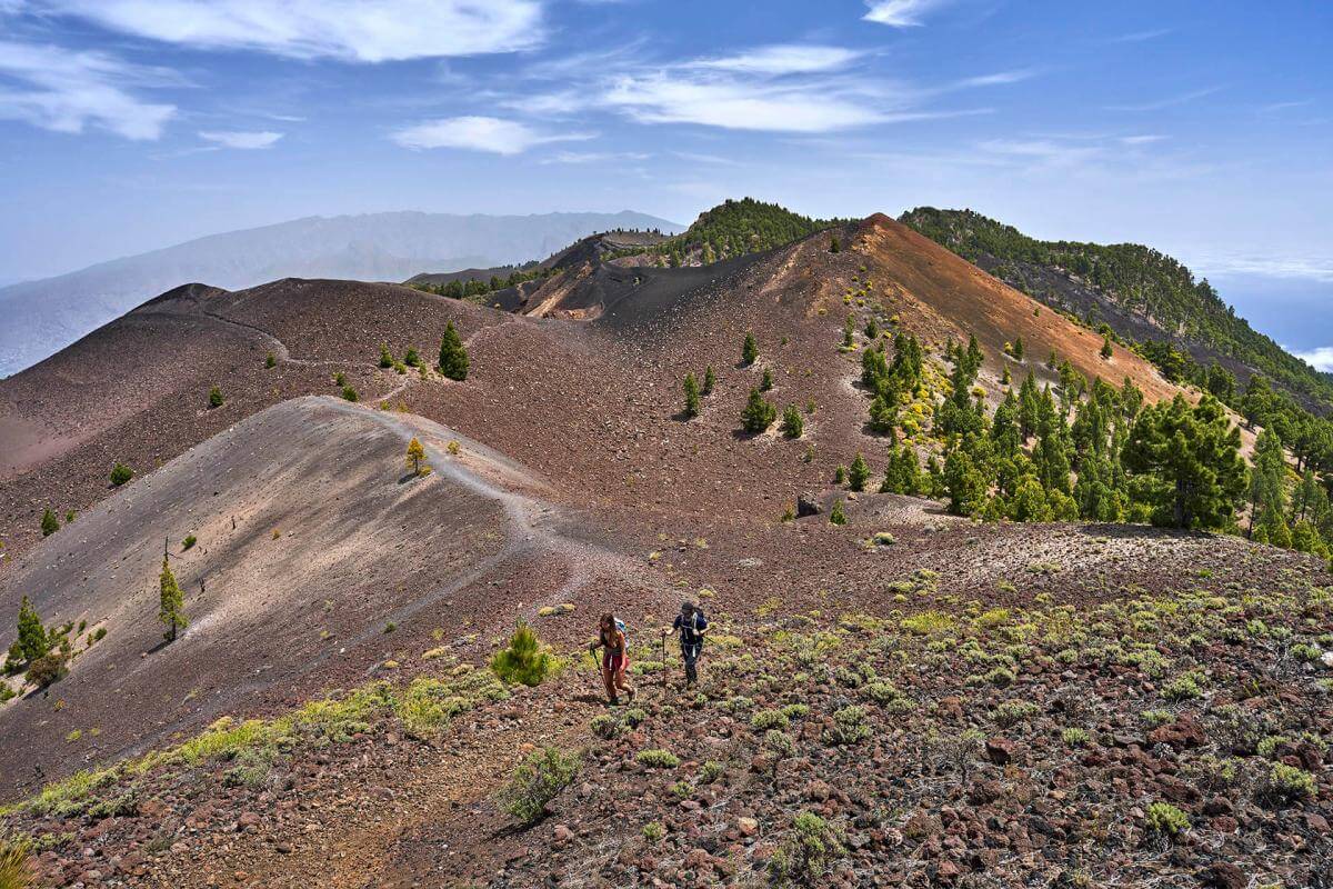
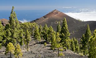
El Duraznero is one of the largest volcanic cones from the historic 1949 eruption along the trail. At almost 1900 metres, this is the highest section of the Ruta de Los Volcanes trail. El Duraznero produced exclusively magmatic explosions. The lava from Hoyo Negro, on the other hand, flowed towards the western slope of the island. In the basin, you can see the remains of a transitional lava lake that was created before the lava flowed on towards the sea. In the mountainous area closest to the trail, you can see a fissure that has created three cinder cones.
At 1945 metres, this is the highest volcano in Cumbre Vieja, even though it was not part of a past eruption. It is part of the central spine of the dorsal south of the island. From this look-out point, you can see the main cones and eruption points along the trail. This privileged location helps you to understand the axes along which the eruptions occurred and also observe how the lava and malpaíses or badlands have been progressively taken over by both thickets and Canary pine trees.
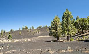
This black lapilli plain with its shrubby vegetation and pine trees is a perfect, serene place for you to take a break after a tough section of the trail. Such lapilli plains are the result of Strombolian eruptions that rain down volcanic ash. In the upper part of the plain, you have phreatomagmatic formations that help explain the volcanic process that occurs when lava comes in contact with water or when it leads to explosions accompanied by the release of gases.
Before you, you have a black lapilli plain in the area below the access to the Martín de Tigalate volcano, which was created in the historic eruption of this volcano in 1646. The eruption of Martín de Tigalate lasted about a month between October and December, though there was seismic activity from September. In total, the eruption period lasted 82 days, was accompanied by significant seismic activity and led to the expulsion of a large amount of volcanic material, which extended the island towards the sea. The eruption had a number of outlets, some on the peaks which you can see and others in the coastal area.
This is the last visible volcanic cone before you begin the last section of the trail through the pine forest. This flat stretch marks the boundary between the areas affected by past volcanic eruptions, especially that of the Martín volcano that created the lava flows on your right, and the dense Canary pine forest that you will walk through to reach Fuentecaliente.
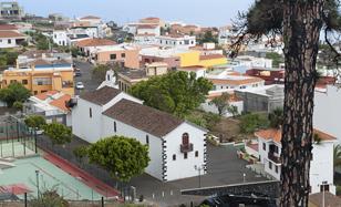
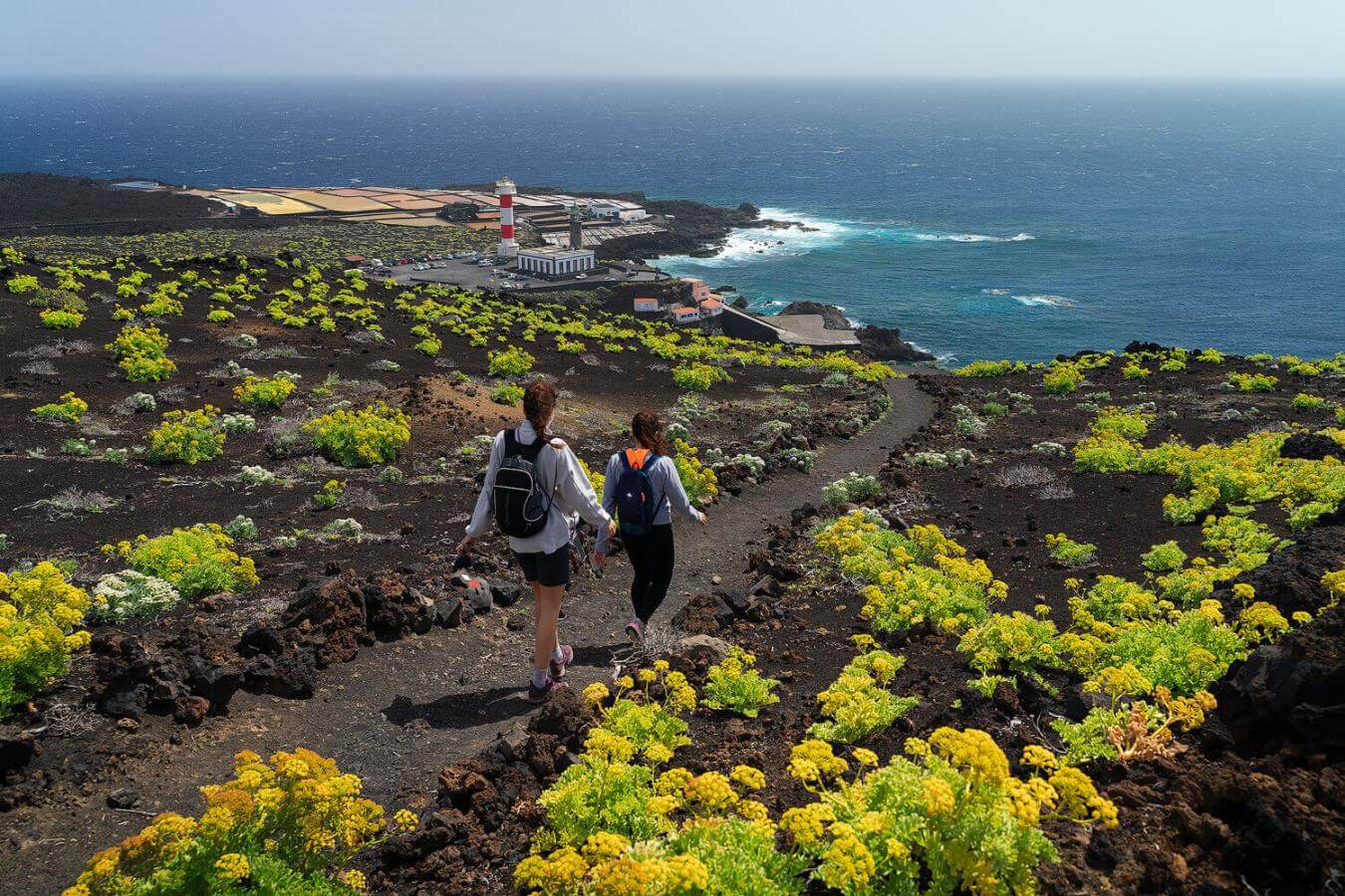
The trail ends in Los Canarios, the centre of the Fuentecaliente municipality. The history of this locality has been marked by volcanic activity, as San Antonio and Teneguía, the volcanoes to the south of the town, erupted in the 17th and 20th century respectively. It is also an important wine-growing region with a number of wineries and one of the places where the Malvasía grape is grown.
- Never leave waste of any type lying around, including cigarette butts. Leftover food leads to a proliferation of rats and wild cats, which pose a serious threat to the fauna.
- Respect the animals. Do not bother them or feed them. If you see an injured specimen, you can call the emergency number: 112. Do not pick flowers or plants.
- Do not pick up or take away stones or any other item from the natural environment. And do not move them to pile them up into sadly famous 'towers'.
- Respect the signposting along trails. Leaving the set paths causes damage to the environment and could also be dangerous for you and anyone with you.
- It is safer to keep your pet on a lead.
- Try not to alter the peace of the environment with excessive noise (loud music, yelling, etc.).