

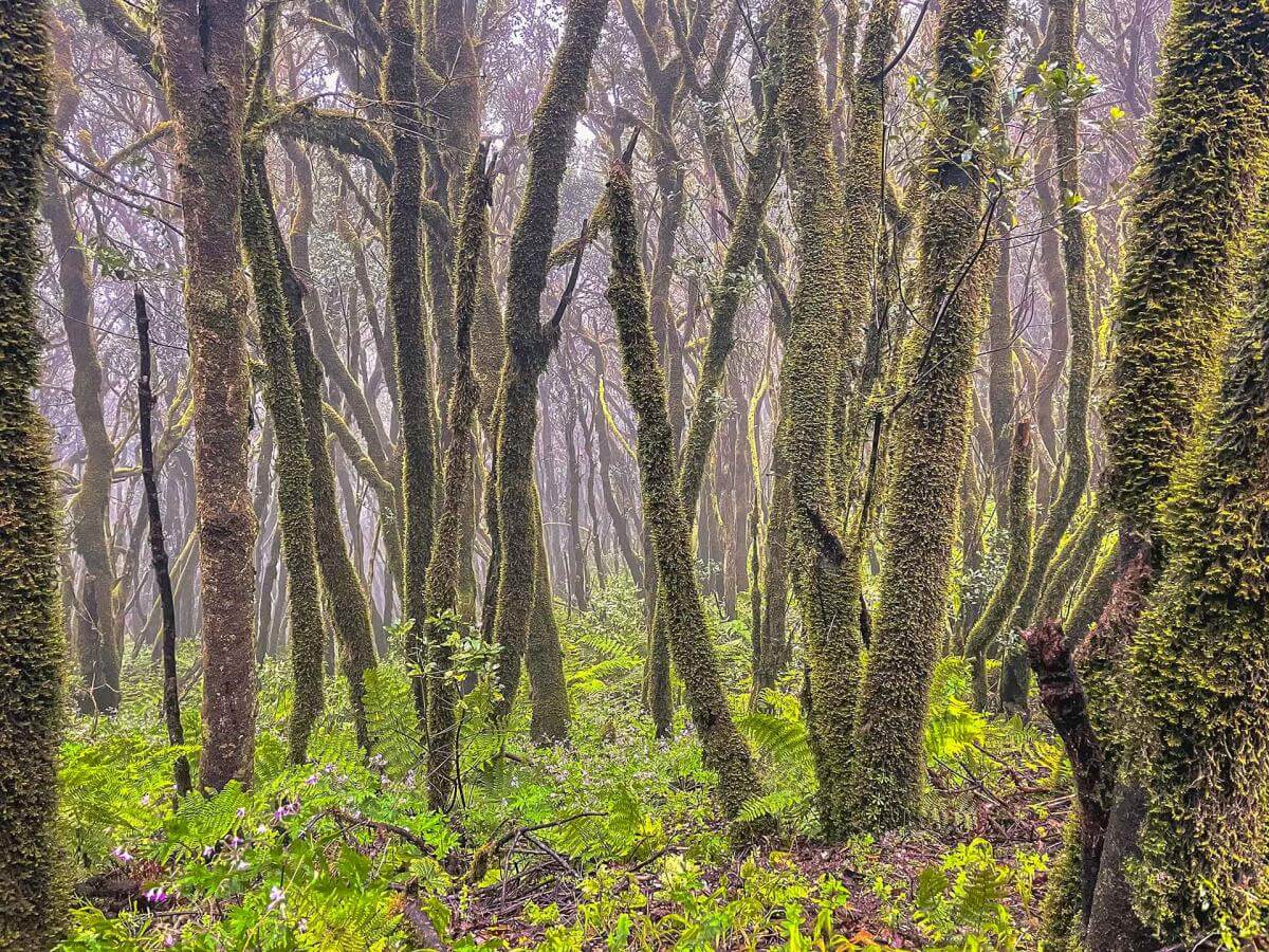

This trail begins at the El Pilar refuge, which is also the starting point for the Ruta de Los Volcanes trail. The Cumbre Vieja ridge, which extends towards the south of the island, begins here. You will hike down the western slope of this volcanic chain which used to be covered in Canary pine.
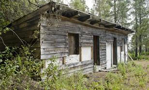
After going through the Fayas tunnel, you will see a dilapidated building at the edge of the road. This run-down structure has seen better days when this area was known as La Venta. While crossing over from one side of the island to the other, one had to pass through this area and it served as a rest stop where you could get news about what was happening in all four corners of the island.
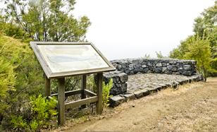
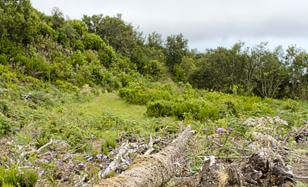
From this look-out point, you have an excellent view of the Las Breñas area which used to be covered in very dense thermophile forests, though it has now been cleared for cultivation. You can see Breña Alta and Breña Baja, the two towns of Las Breñas with the capital Santa Cruz in the background.
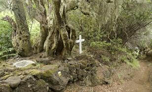
This small white cross is located at the one of the crossroads in the middle section of this trail. Next to the cross is a small water trough that adds to the almost magical atmosphere of the area. In the past, crossroads were traditionally marked with a cross of this kind, to commemorate a vow or some important event.
The forest resources from the lower areas of the Monteverde in La Palma continue to be exploited, though less intensively than before. Even today, part of the traditional grapevine cultivation on the island, uses support poles made from wood from the forest. In olden times, wood was burnt very slowly in the forest to produce charcoal - a practice that has all but disappeared today.
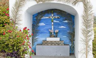
The Fiesta de la Cruz is celebrated on May 3. On this day, all the crucifixes along the old royal paths in the different neighbourhoods like Villa de Mazo are decorated. Residents come together to decorate these crosses with fabrics, flowers, paper and even jewels.
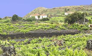
The landscape of Mazo has been shaped by the world of wine. You are surrounded by small plots growing grapevines, many of which follow the traditional form of cultivation: on stony ground or in furrows, where the vines take root by creating crags in the fertile soil below the heavy layer of gravel. The many dry-stone buildings covered with shingled roofs, most of which are small family-run wineries, are also typical to this area.
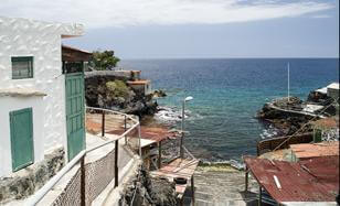
The trail ends at the coast in a small settlement which serves as a second residence for the inhabitants of Mazo. This type of coast, with basaltic rocks washed by the sea and hardly any beach, is typical to La Palma and you can end the trail with a swim, if the weather and sea conditions permit.
- Never leave waste of any type lying around, including cigarette butts. Leftover food leads to a proliferation of rats and wild cats, which pose a serious threat to the fauna.
- Respect the animals. Do not bother them or feed them. If you see an injured specimen, you can call the emergency number: 112. Do not pick flowers or plants.
- Do not pick up or take away stones or any other item from the natural environment. And do not move them to pile them up into sadly famous 'towers'.
- Respect the signposting along trails. Leaving the set paths causes damage to the environment and could also be dangerous for you and anyone with you.
- It is safer to keep your pet on a lead.
- Try not to alter the peace of the environment with excessive noise (loud music, yelling, etc.).