


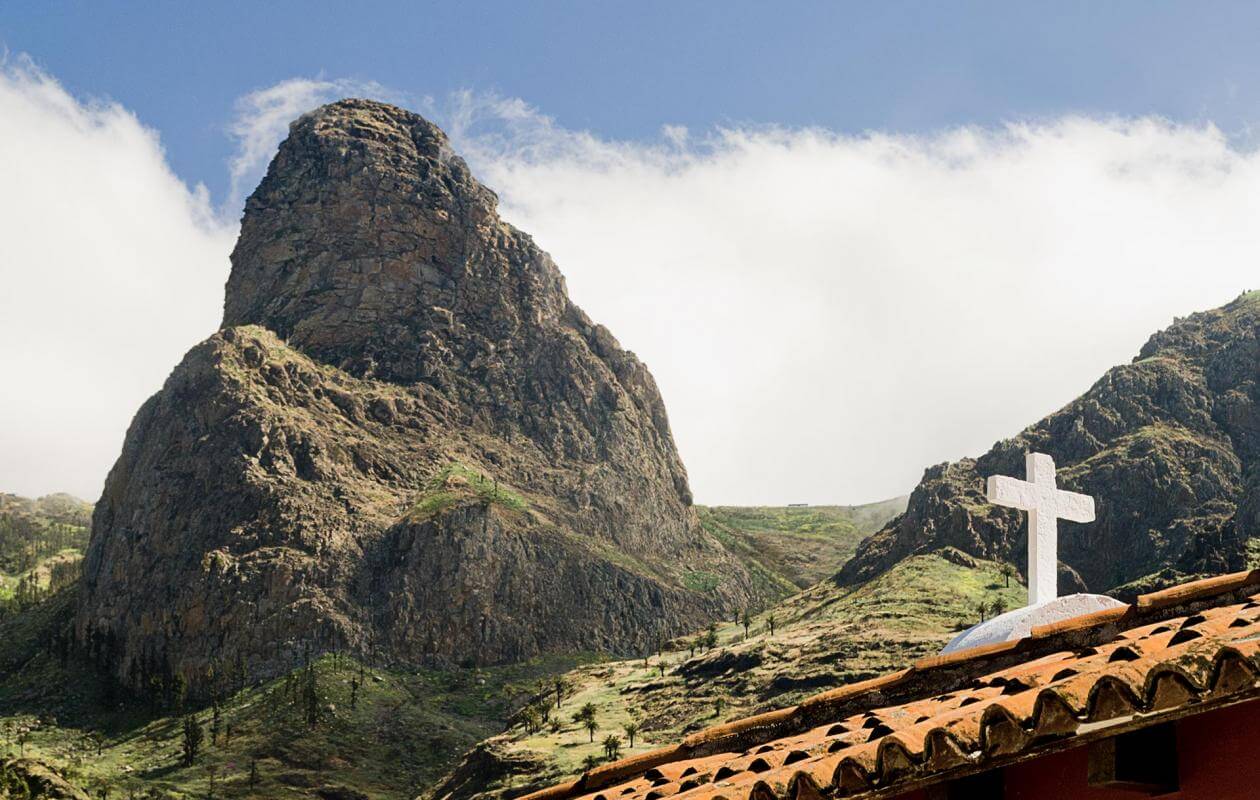
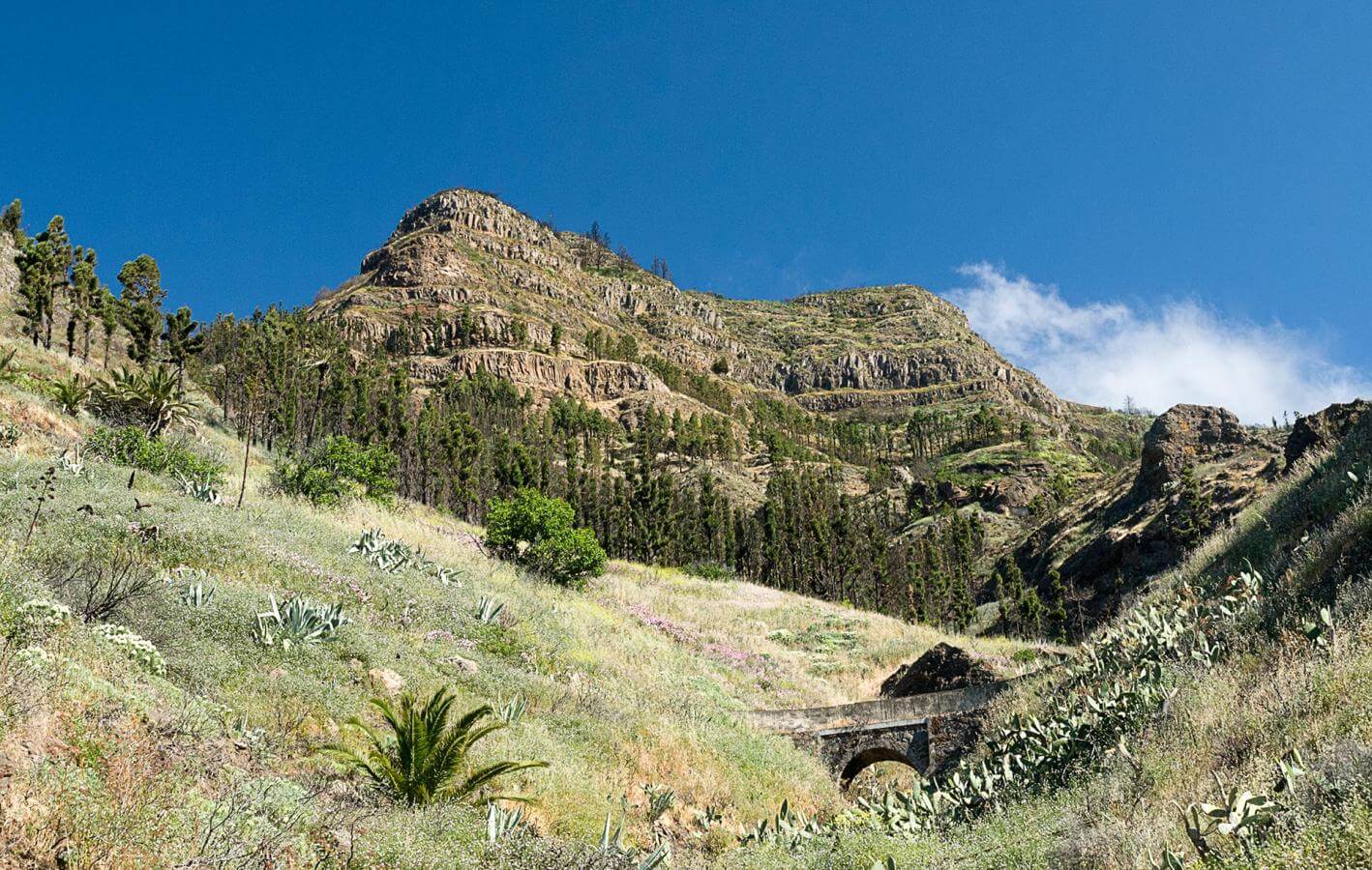
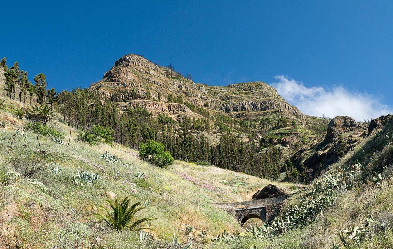
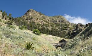
You begin the descent surrounded by the large Agando dome, a formidable volcanic neck that created this set of outcrops close to each other. Its round shape and almost vertical sides makes it the giant of the landscape and its walls are home to exceptional vegetation made up of exclusive species. At the foot of this large outcrop is a heath forest that has suffered many consecutive forest fires.
The structure of a canal that covers the head of the ravine marks the end of the Monteverde and the start of the thermophile forest. This dry canal was never used, a fact that speaks of the importance of water sources. There are six springs here, plus Benchijigua is main head of the Santiago ravine and receives some of the greatest run-off water in La Gomera.
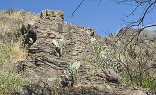
Water from one of the six springs in this elevated area on Agando's slopes, flows along the gorge, creating a refreshing atmosphere. There is a magmatic dyke rising up the slope at the point where you have to cross the gorge; these dykes are known as taparruchas in La Gomera.
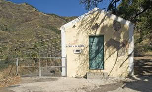
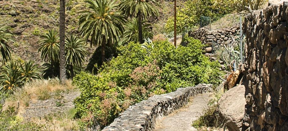
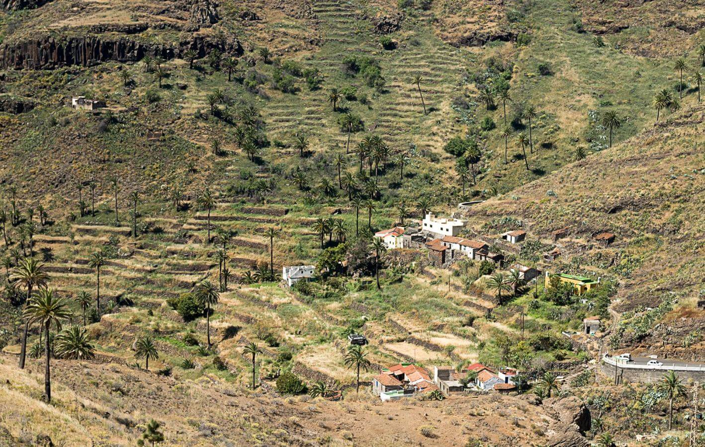
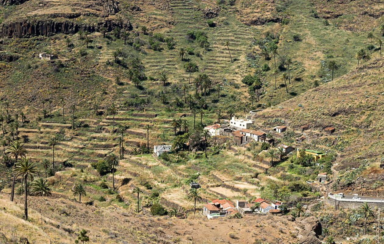
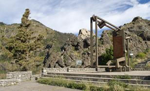
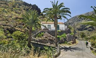
You can see that this ravine has abundant water from this complex of aqueducts located at the entrance to Benchijigua. The keys used to distribute water to the cultivation plots on the slopes are also located here. Though both Benchijigua and Lo del Gato are practically abandoned today, both settlements reached almost 300 inhabitants each in the mid-20th century.
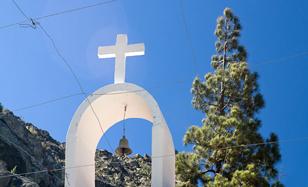
There is a large plot in the centre of Benchijigua which permits vehicular access along the slopes of the ravine. Next to the plot, you have the hermitage dedicated to San Juan Bautista, who was the patron of the Condes de La Gomera, the nobility of the island. This large plot is a reminder of the past cultivation of cereals on the slopes around this settlement. However, today due to lack of agricultural activity, this town has practically no permanent inhabitants.
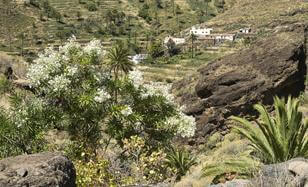
As you climb down the ravine, you will see the Lo del Gato settlement from the left-hand side edge of the trail, just before entering the cardonal tabaibal thicket. This scarcely populated settlement that survives on subsistence agriculture demonstrates the difficult living conditions in the deep canyons of La Gomera. You have also passed what is the ravine's main wealth today - water. There is a well and a dam below Benchijigua in a subsidiary branch of the main gorge.
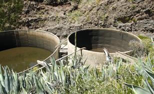
Using water resources is the main activity in this narrow part of the ravine. After walking past two unusual basins with an overflow system, you have a quaint watermill that was used to grind flour on the right. If you look down, you can see the outlet which fed water to the waterwheel in the lower part of the basin.
This settlement is nestled on the southern slope of the ravine and is the beginning of the last stretch of the trail. There are cultivation plots in the gorge, some of which use traditional methods of agriculture. You can continue along the highway or along the gorge. This section of the ravine has been significantly altered.
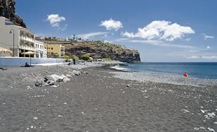
You exit the gorge of the ravine through its mouth in Playa Santiago, a port town. Even though banana plantations have all but disappeared from here, this flat area is still reminiscent of the agricultural past along this extensive beach with its coves.
- Never leave waste of any type lying around, including cigarette butts. Leftover food leads to a proliferation of rats and wild cats, which pose a serious threat to the fauna.
- Respect the animals. Do not bother them or feed them. If you see an injured specimen, you can call the emergency number: 112. Do not pick flowers or plants.
- Do not pick up or take away stones or any other item from the natural environment. And do not move them to pile them up into sadly famous 'towers'.
- Respect the signposting along trails. Leaving the set paths causes damage to the environment and could also be dangerous for you and anyone with you.
- It is safer to keep your pet on a lead.
- Try not to alter the peace of the environment with excessive noise (loud music, yelling, etc.).