


Distance from Point A to Point B: First stage / Mirador del Santo – Alojera, 4.2 km
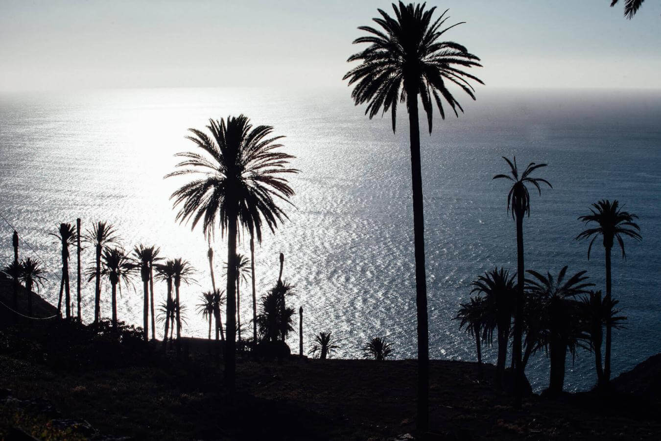
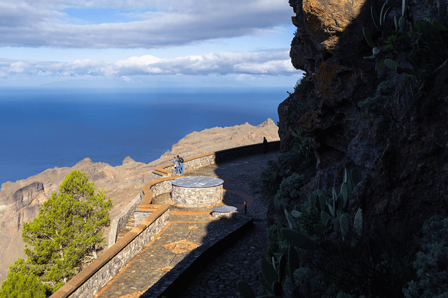
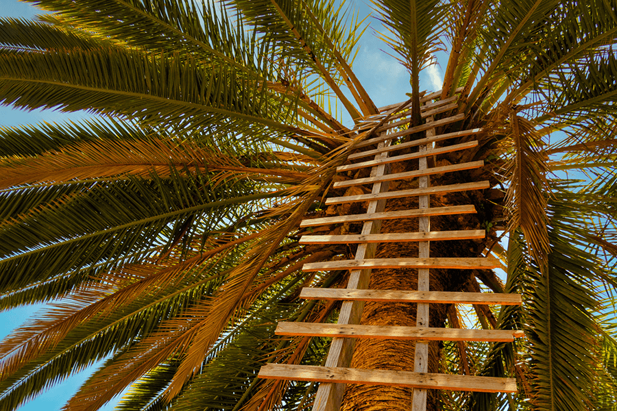
From the Mirador del Santo, an impressive natural balcony overlooking the Taguluche valley, two routes set off crossing the spectacular Lomo del Carretón Natural Monument — a geological and scenic jewel of northwest La Gomera. This protected area stands out for its towering basalt walls, rich endemic flora and the contrast between the humid northern winds and the warm climate of Alojera, creating an environment full of life and natural beauty.
The path descends from the Ermita del Santo between cliffs, palm groves and volcanic formations, offering unique panoramas of the Barranco del Mono, the village of Alojera and the island of La Palma in the distance. Along the way, walkers pass through pine forests and terraced areas, enjoying an environment where nature, history and tranquillity blend together until reaching the charming coastal hamlet of Alojera.
Distance from Point A to Point B: First stage / Mirador del Santo – Taguluche, 4.2 km
From the Mirador del Santo, the route descends along a spectacular path that winds between the cliffs toward the picturesque valley of Taguluche. As you move forward, the landscape changes: arid slopes and basalt formations give way to an oasis of palm groves that announce the arrival at the hamlet, one of the most authentic and peaceful places in northwest La Gomera.
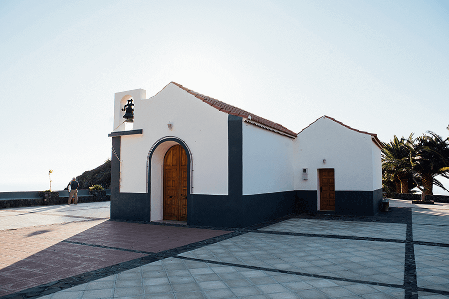
Taguluche preserves all the charm of traditional life, with its threshing floors, wine presses and ancient terraces — silent witnesses of the area’s agricultural past. At the heart of the village stands the Ermita de Nuestra Señora del Buen Viaje, surrounded by views of the valley and the Atlantic. From the Mirador de Taguluche there are unique panoramic views, especially at sunset, while the Barranco de Taguluche reveals the natural and ethnographic richness of the area. An ideal place to pause, enjoy the local bar-restaurant and breathe the most genuine essence of La Gomera.
Distance from Point B to Point C: Second stage / Alojera – Chorros de Epina, 5.4 km
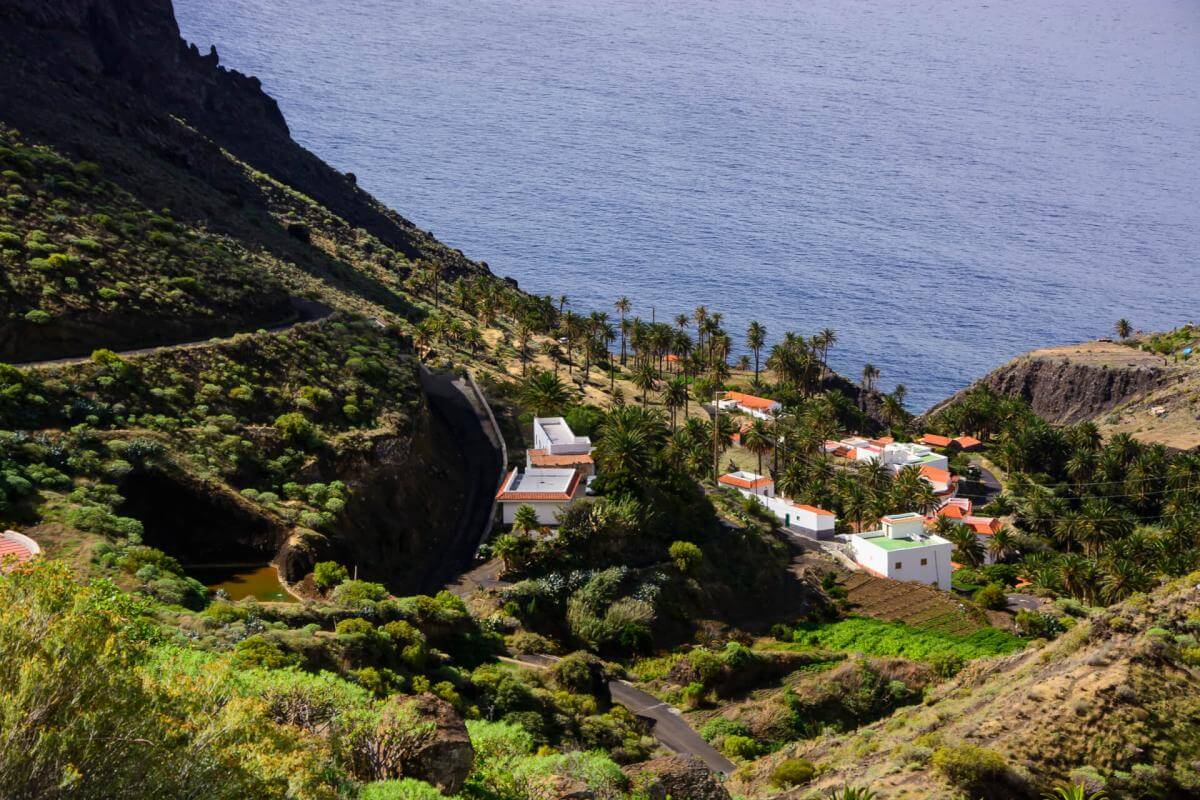
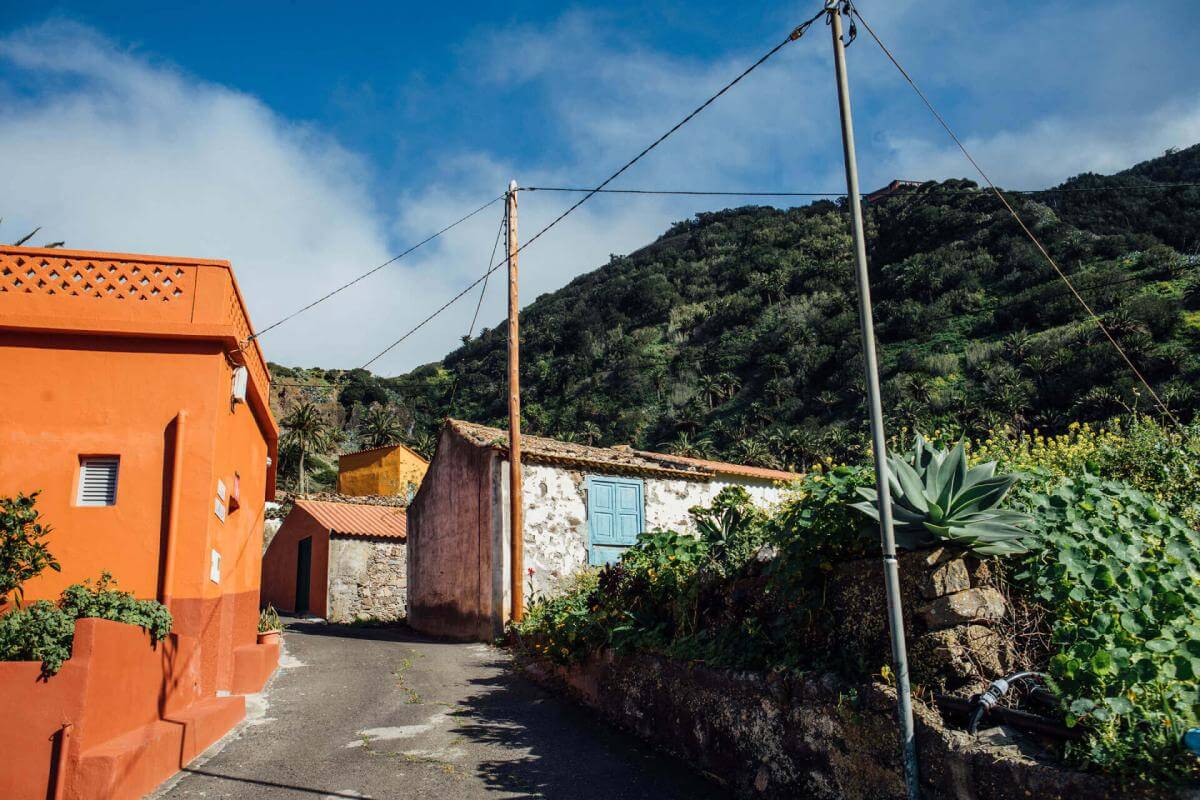
The route reaches Alojera, one of the most traditional villages in the northwest of La Gomera, located between the Lomo del Carretón Natural Monument and the sea. Its arid slopes, dotted with palm groves and rural houses, preserve valuable ethnographic heritage, including old wine presses, threshing floors and mills.
Alojera is famous for being the main producer of palm honey, one of La Gomera’s most cherished gastronomic treasures. Visitors can learn about this ancestral craft and, with some luck, see the guaraperos at work, extracting sap from the palm trees. The village has plenty of local bars and shops where typical products such as cheeses, dulces gomeros and, of course, palm honey can be tasted.
The section ends at the Mirador Playa de Alojera, offering spectacular views of its volcanic-sand beach and calm waters — a perfect spot to relax, swim or enjoy the natural surroundings before continuing the route toward the Chorros de Epina.
Distance from Point C to Point D: Third stage / Chorros de Epina – Vallehermoso, 6.5 km
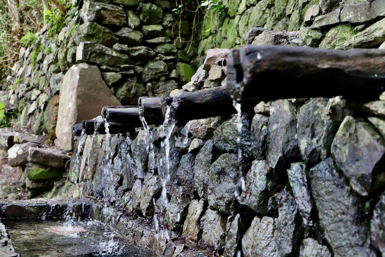
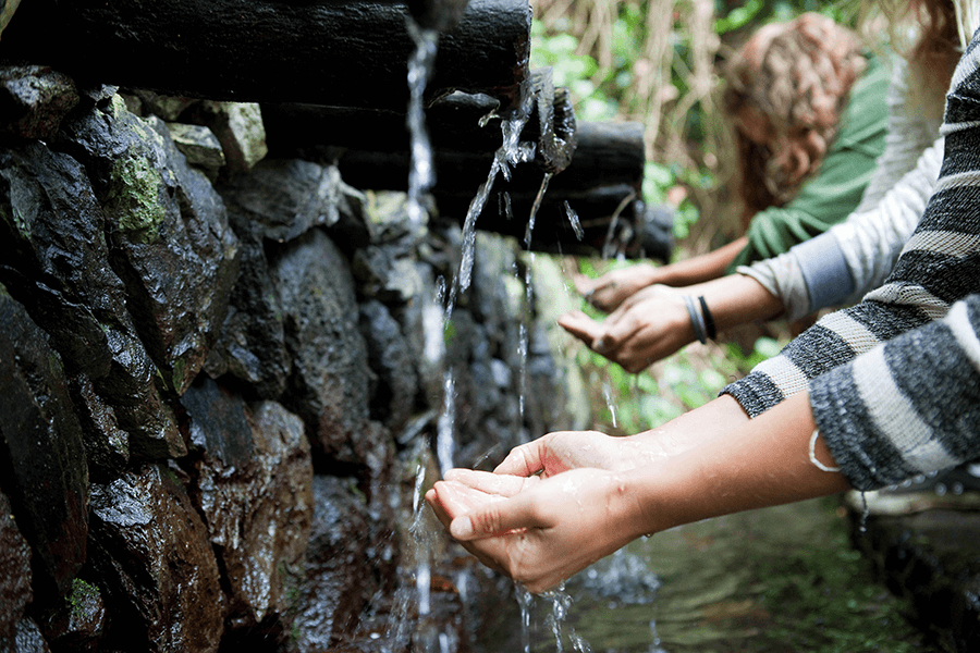
The Chorros de Epina are a set of seven spouts steeped in tradition. It is said that the first two are linked to health, the next ones to love, and the following two to fortune. The seventh is known as the “witches’ spout.”
Before reaching them, the path passes the Ermita de San Isidro Labrador, a common resting point. This small chapel, much loved by the local community, celebrates the feast of the patron saint of farmers every 15 May. The surroundings are peaceful and perfect for a break.
Just a few metres away stands the Bar-Restaurant Los Chorros de Epina, the only one in the area and ideal for regaining strength. From here, the route continues toward Vallehermoso, around 6 km away, almost entirely downhill.
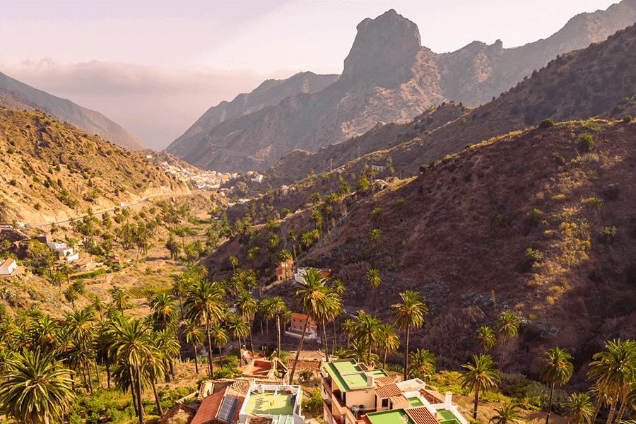
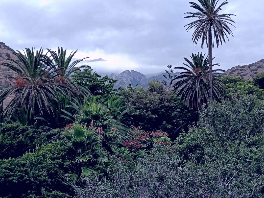
After walking approximately 1.4 km along the road toward Vallehermoso, a small detour leads to a 300-metre path that soon reaches a junction. From this point, a continuous descent begins, offering wide views toward the north of La Gomera. The trail crosses one of the best-preserved juniper groves (sabinares) in the archipelago, where the Canary Island juniper grows low in windy areas and taller in more sheltered spots. The landscape then shifts to eroded terrain and white rock from the basal complex, with views of the hamlets of Macayo and Los Bellos. The route ends in Vallehermoso, a valley surrounded by mountains and palm groves, dominated by the Roque Cano, the municipality’s emblem. Before reaching the town, two viewpoints stand out: Mirador de la Pilarica and Mirador del Almendrillo, both offering exceptional panoramas. Vallehermoso offers tranquillity, traditional architecture and points of interest such as the La Encantadora Dam and the Jardín Botánico del Descubrimiento.
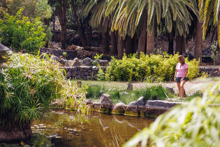
The Jardín Botánico del Descubrimiento, located in Vallehermoso, brings together plant species from five continents along with an outstanding collection of Canary Islands endemic flora. Inaugurated in 1992 to commemorate the “Encounter of Two Worlds,” it recreates ecosystems such as the laurel forest and includes walking paths, educational activities and cultural spaces. It is an ideal stop to learn about La Gomera’s biodiversity and enjoy a peaceful environment.
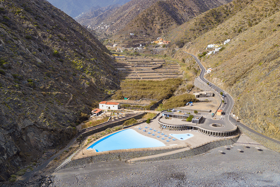
Distance from Point E to Point F: Fourth stage / Vallehermoso – Parque Marítimo, 4 km
The route from Vallehermoso to the Parque Marítimo follows the course of the ravine for about 4 km, blending rural landscapes, palm groves and native vegetation. The walk begins in the town centre and continues between cultivated terraces before opening out toward the ocean. The stage ends at the Vallehermoso Maritime Park, next to natural pools, the Castillo del Mar and the beach — a wild, volcanic setting perfect for relaxing after the hike.
- Never leave waste of any type lying around, including cigarette butts. Leftover food leads to a proliferation of rats and wild cats, which pose a serious threat to the fauna.
- Respect the animals. Do not bother them or feed them. If you see an injured specimen, you can call the emergency number: 112. Do not pick flowers or plants.
- Do not pick up or take away stones or any other item from the natural environment. And do not move them to pile them up into sadly famous 'towers'.
- Respect the signposting along trails. Leaving the set paths causes damage to the environment and could also be dangerous for you and anyone with you.
- It is safer to keep your pet on a lead.
- Try not to alter the peace of the environment with excessive noise (loud music, yelling, etc.).