There are few places left in the world that can only be explored on foot. With more kilometres of trails than roads, the westernmost island in the Canary Islands archipelago is one of those rare exceptions. A destination with such unique nature that it is worth contemplating step by step.
The smallest island in the archipelago is a great destination for enjoying the outdoors. Its almost 270 square kilometres are home to spectacular volcanic craters, unique forests, rugged valleys, high peaks and hundreds of species of flora and fauna. A peaceful natural paradise full of contrasts that was declared a Biosphere Reserve in the year 2000.
Trails for discovering El Hierro
Discovering El Hierro on foot is a real pleasure. Because in addition to the dozens of existing itineraries, the island offers the possibility of embarking on your very own adventure by taking signposted trails with absolute freedom. Many routes share locations, which, added to an extensive network of interconnected trails, allows walkers to create an infinite number of alternatives suited to their level and interests.

The La Llanía Route, an inherently peaceful walk
Surprising, friendly and full of magnetism: the La Llanía Route sums up the spirit of El Hierro in a pleasant walk. An easy circular route that adapts to the hiker’s desire to walk, with three variants ranging from four to seven and a half kilometres. All of them, however, visit the main points of interest, so it is impossible to miss anything.
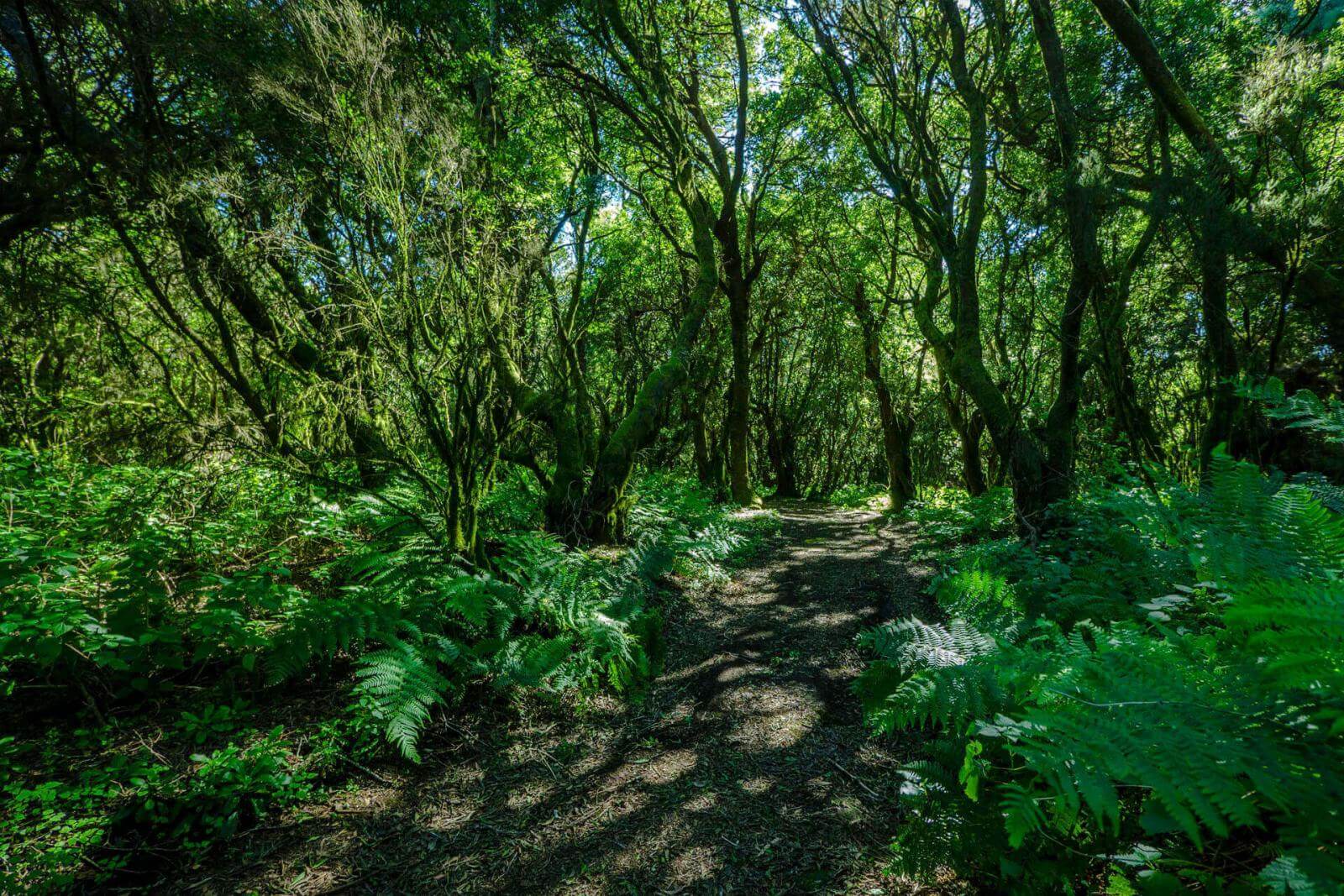
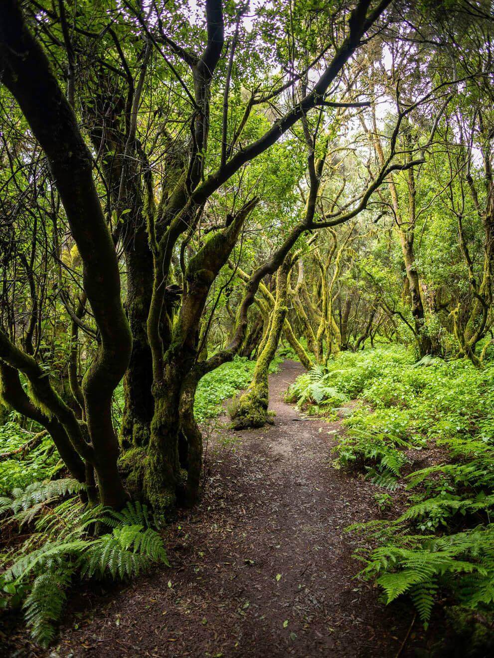
To follow this trail, take the HI-1, the main road linking Valverde to the south-west. Halfway along, in the heart of the island, is a wooden arch, the gateway to a carousel of landscapes, each more beautiful than the last. The first is El Brezal, an enchanting rainforest with its own climate. Its dense vegetation, made up of fairytale trees, retains the fog and filters the sunlight, creating magical images. Almost without one realising it, the route enters an ancient laurissilva forest, as characteristic of the archipelago as the Canarian pine forest that follows.
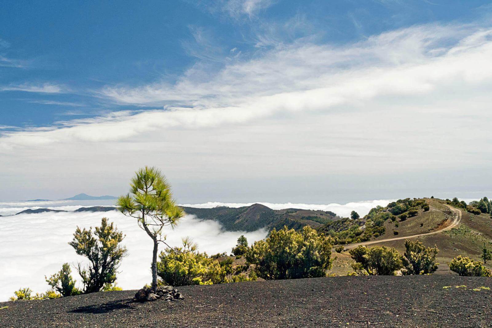
The next stop is the El Lomo spring, a stone cistern that bears witness to the water shortages experienced by the people of El Hierro throughout history. From this point onwards, the landscape changes to reveal its more volcanic side. The route leads to the Hoya de Fireba caldera, one of the best-preserved craters on the island, which can be viewed from its own viewpoint. The trail continues through legendary places such as the Bailadero de Las Brujas until reaching the turning point, marked by the Viewpoint of La Llanía and its spectacular panoramic view of the El Golfo valley with the Atlantic Ocean in the background.
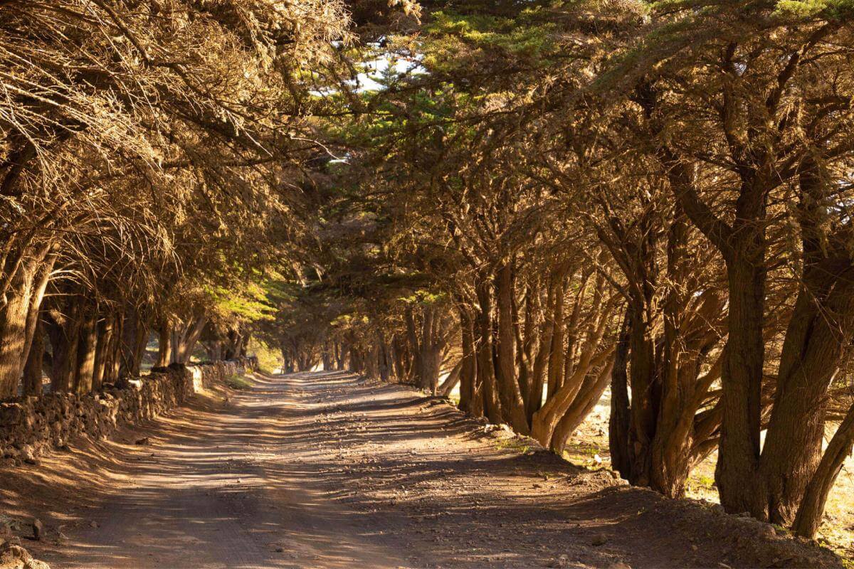
Route through El Sabinar, a walk through an enchanted forest
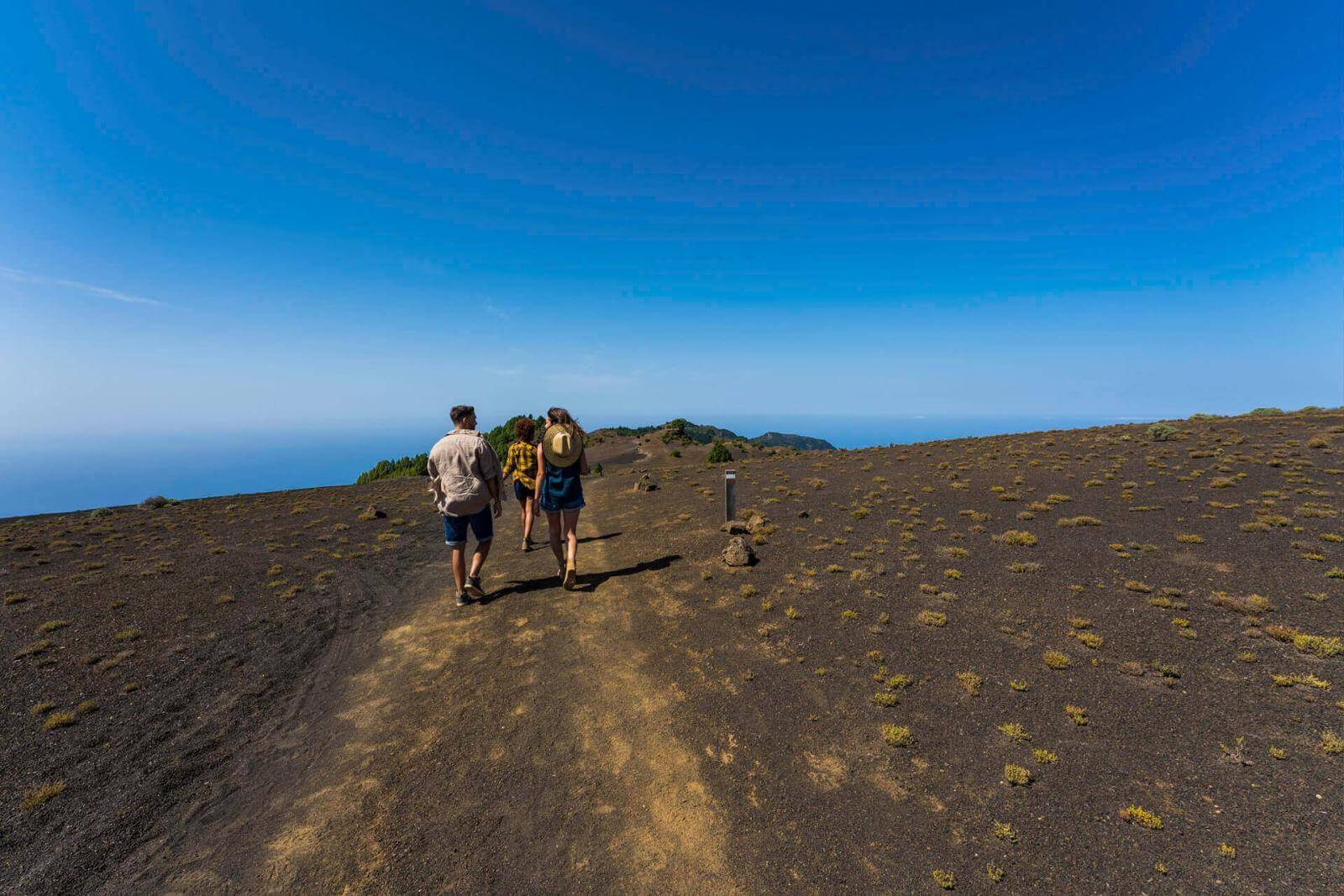
The westernmost part of El Hierro is home to many magical places, but perhaps one of the most iconic is the forest where the trees twist and turn to the sound of the trade winds. The best way to visit is by taking the circular PR-EH9 trail, a route of a little over seven kilometres with different variants.
The route starts at the La Dehesa chapel and heads towards the Sabinosa Viewpoint, where the first surprise of the trail awaits. After an almost mandatory stop with spectacular views of the El Golfo valley in the background, the route continues through green areas and pine forests full of wildlife until reaching the home of the junipers, a unique forest where each tree is more surprising and photogenic than the last.


The Way of the Virgin, a high-altitude route
The Chapel of Nuestra Señora de Los Reyes, located in the La Dehesa Natural Park, and the Church of Nuestra Señora de la Concepción of Valverde are connected by a very special pathway. The path crosses the island from west to east through its central peaks and allows visitors to learn about the island’s past and traditions, as this ancient shepherds’ trail is the same one used for the Bajada de la Virgen. This important festival in the form of a procession brings the people of El Hierro together every four years to honour their patron saint.
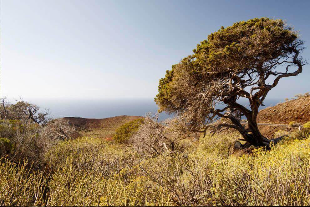
The route is just over 27 kilometres long and requires a full day and some preparation, especially in terms of equipment. But the effort is well worth it. The ascents and descents are decorated with picturesque juniper and Canarian pine forests, which guide walkers to spectacular panoramic views all across the island. The slopes of the El Julan Cultural Park, the spectacular El Golfo valley, El Pinar and the green plateau of Nisdafe as the final destination. Cultural de El Julan, el espectacular valle de El Golfo, El Pinar y la verde meseta de Nisdafe como punto y final.
The route also visits some natural gems like Hoya de Fireba or Malpaso peak, the highest point on the island, which is definitely worth a stop. To enjoy the route at a leisurely pace, you can divide it into two stages, making a first stop at La Dehesa and continuing the next day from the Protected Landscape of Ventejís.
The Jinama trail, a challenge steeped in tradition
In addition to exploring the unique nature of El Hierro, the Jinama trail is also the kind of path that allows you to take a walk through the island’s history. Now a demanding trekking route, this trail was created by the ancient inhabitants of El Hierro to carry out the “mudadas”, annual migrations that the local population undertook with their livestock and belongings from the interior to the coast or vice versa in a quest for a more favourable climate.
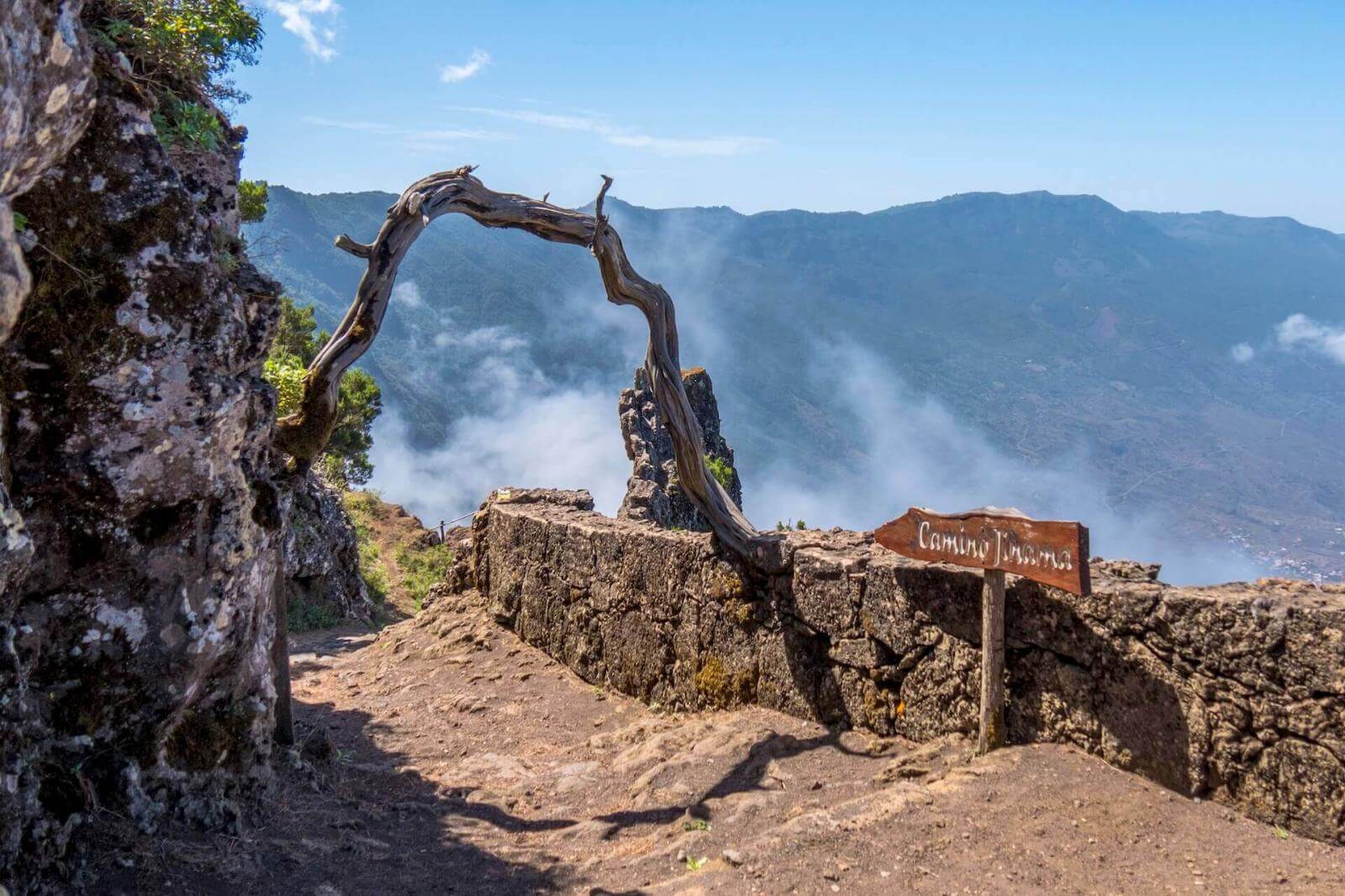
The trail starts at the church of La Candelaria, very close to San Andrés, and leads deep into the Frontera Rural Park, a lush area full of laurels and ferns, perfect for stopping and contemplating some of the species that inhabit the island. At only 8 kilometres, the Jinama trail may seem short, but its main challenge is the 800-metre climb as it passes through the cliffs of the El Golfo valley. The climb is well worth the effort when you reach your destination: the chapel of La Caridad and a spectacular viewpoint with one of the best views of El Hierro.