Route Along the Viewing Points (Los Roques, El Bailadero, El Rejo, Manaderos)

La Gomera, located in the east of the Canary Islands, has been a Biosphere Reserve since 2012. It is famous because Christopher Columbus made a port of call there on his way to discover America (1492). Here we find Garajonay National Park – World Heritage Site. Another of its symbols is the whistle, one of the most appealing ways to communicate in the world. You can discover the island on this route from the viewing points of Los Roques, El Bailadero, El Rejo and Manaderos.

From San Sebastián de la Gomera to Los Roques Viewing Point

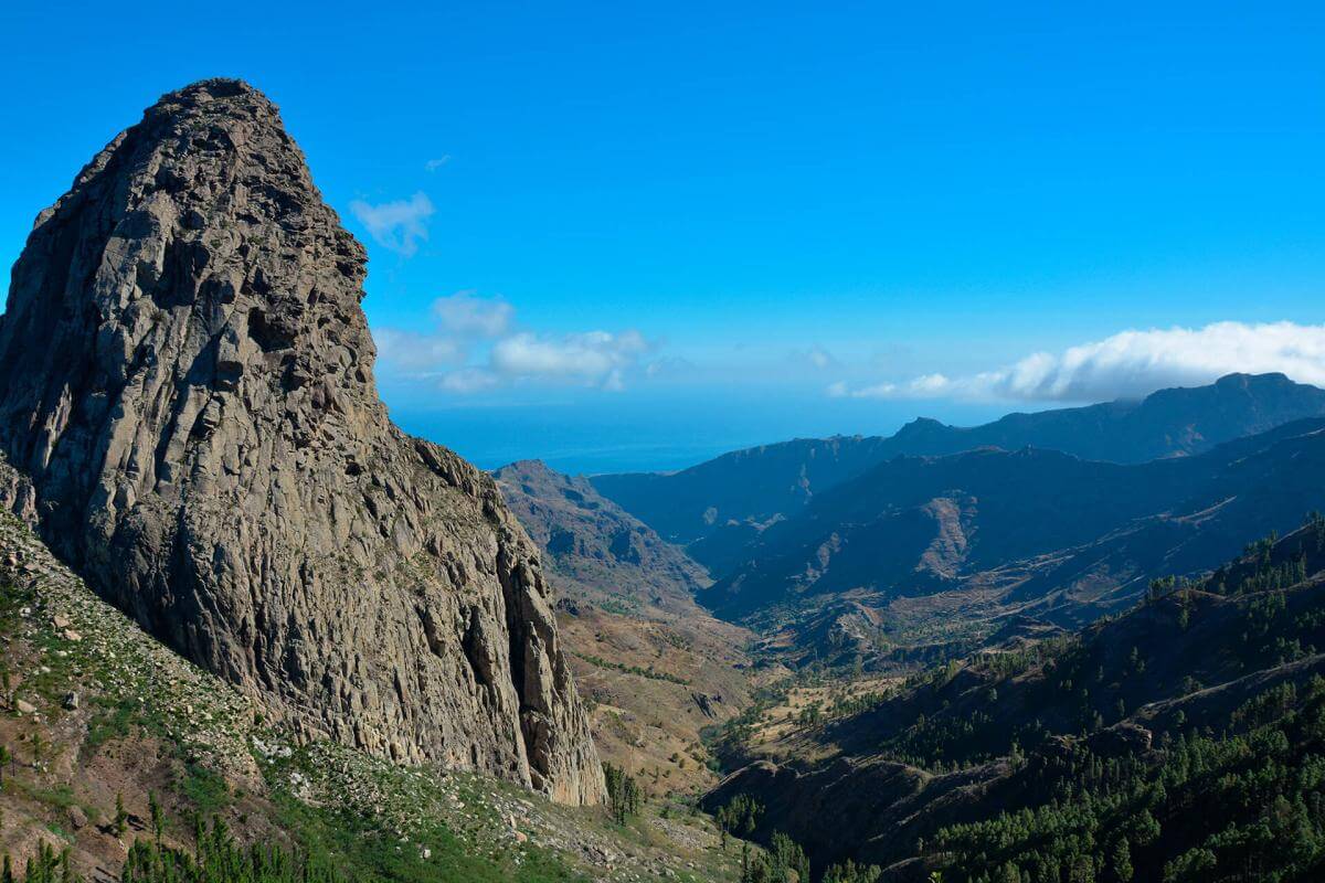
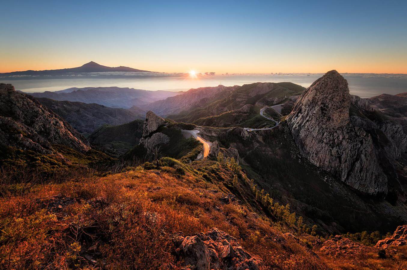
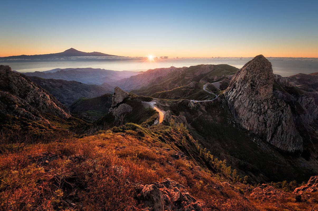
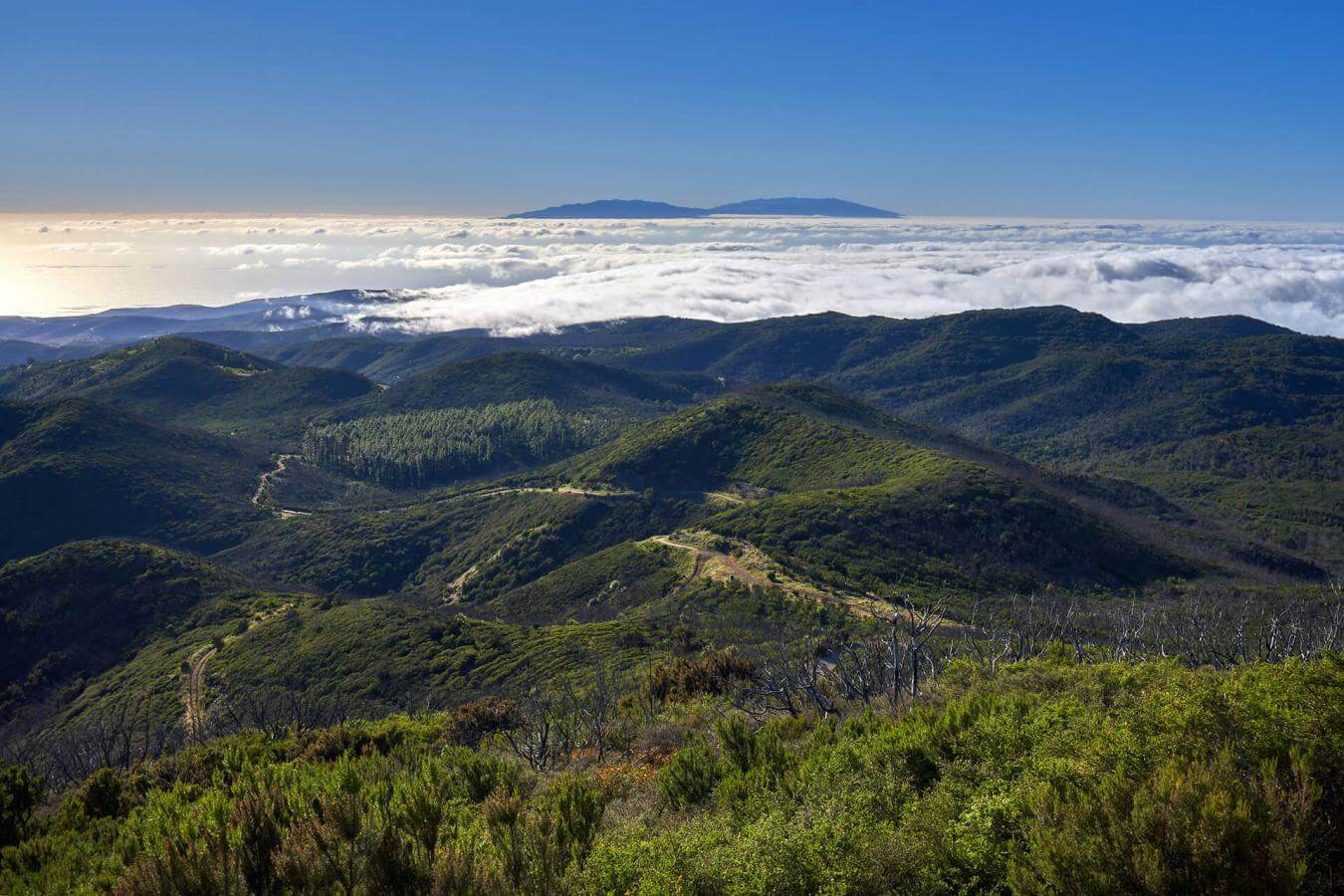
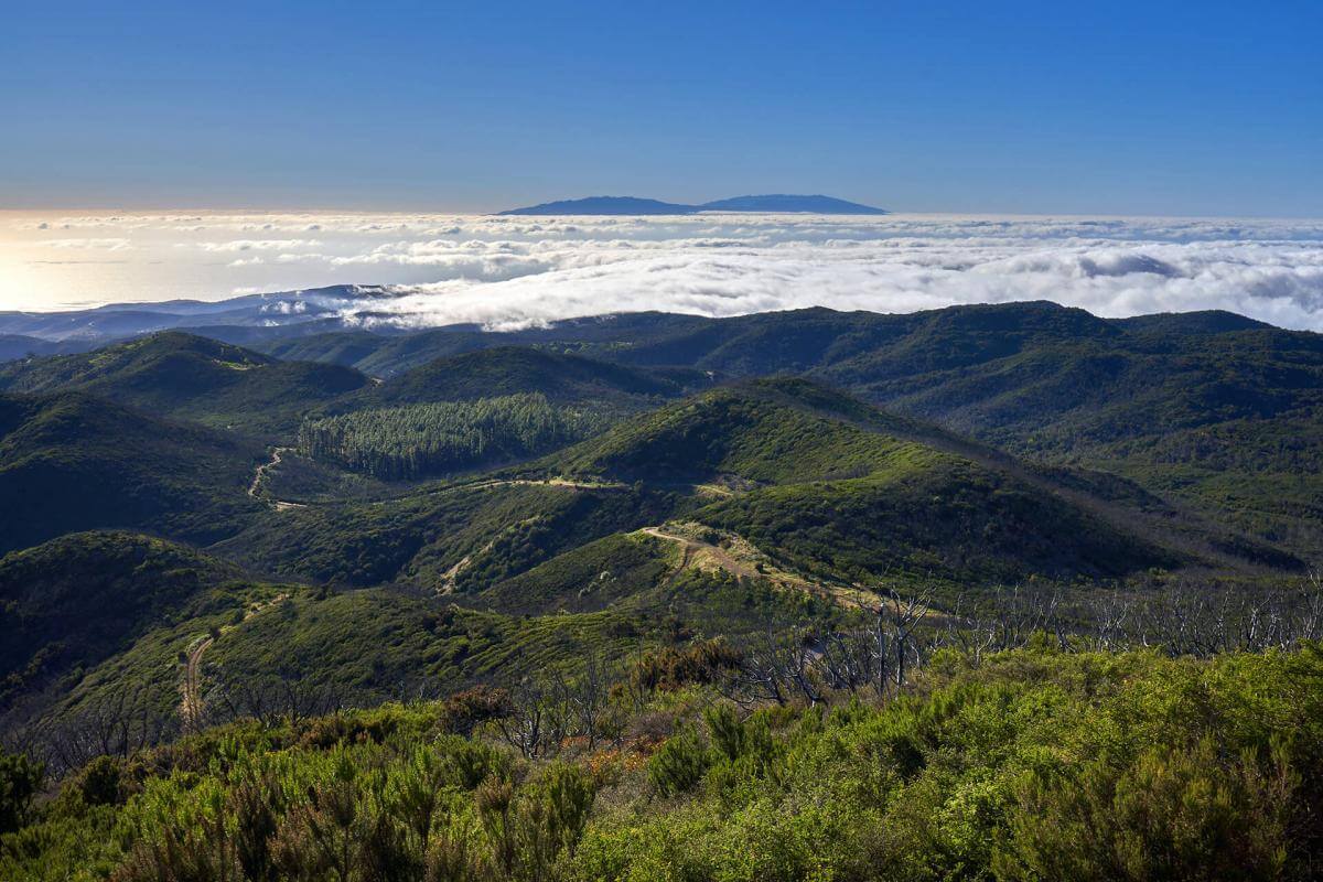
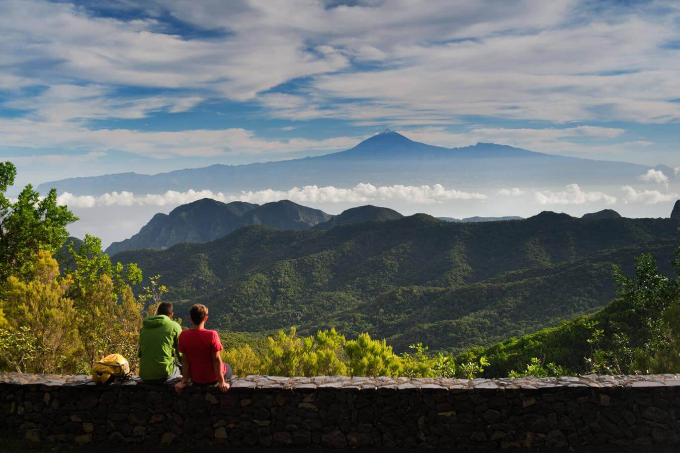
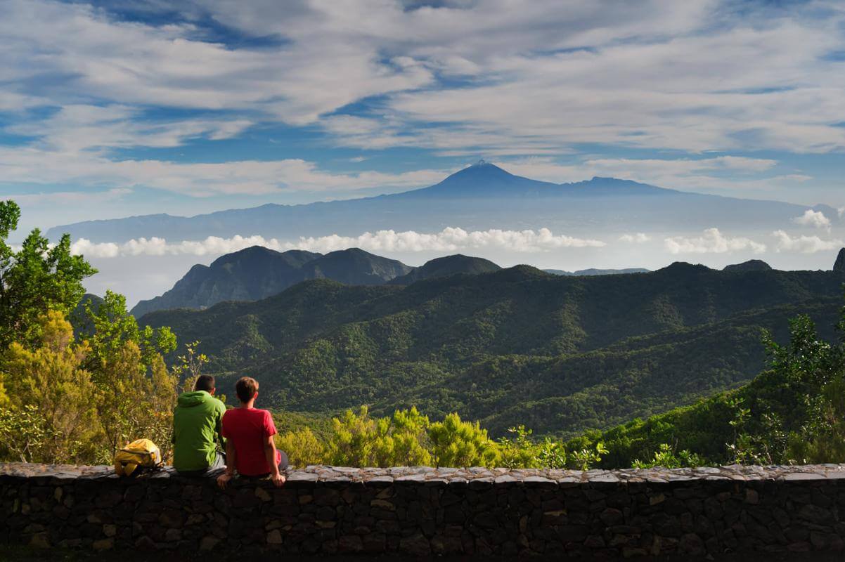
We set out from the port in San Sebastián de la Gomera, located in the east of the island, heading to Garajonay National Park, which is home to a natural jewel belonging to the Tertiary Period – the laurisilva, the only one in Europe. A 26-minute drive takes us to the group of viewing points at Los Roques, providing impressive views of this scenery, considered a living relic of a territory that is about 12 million years old. From here, we can see the so-called “sea of clouds”.

From Los Roques to El Bailadero Viewing Point

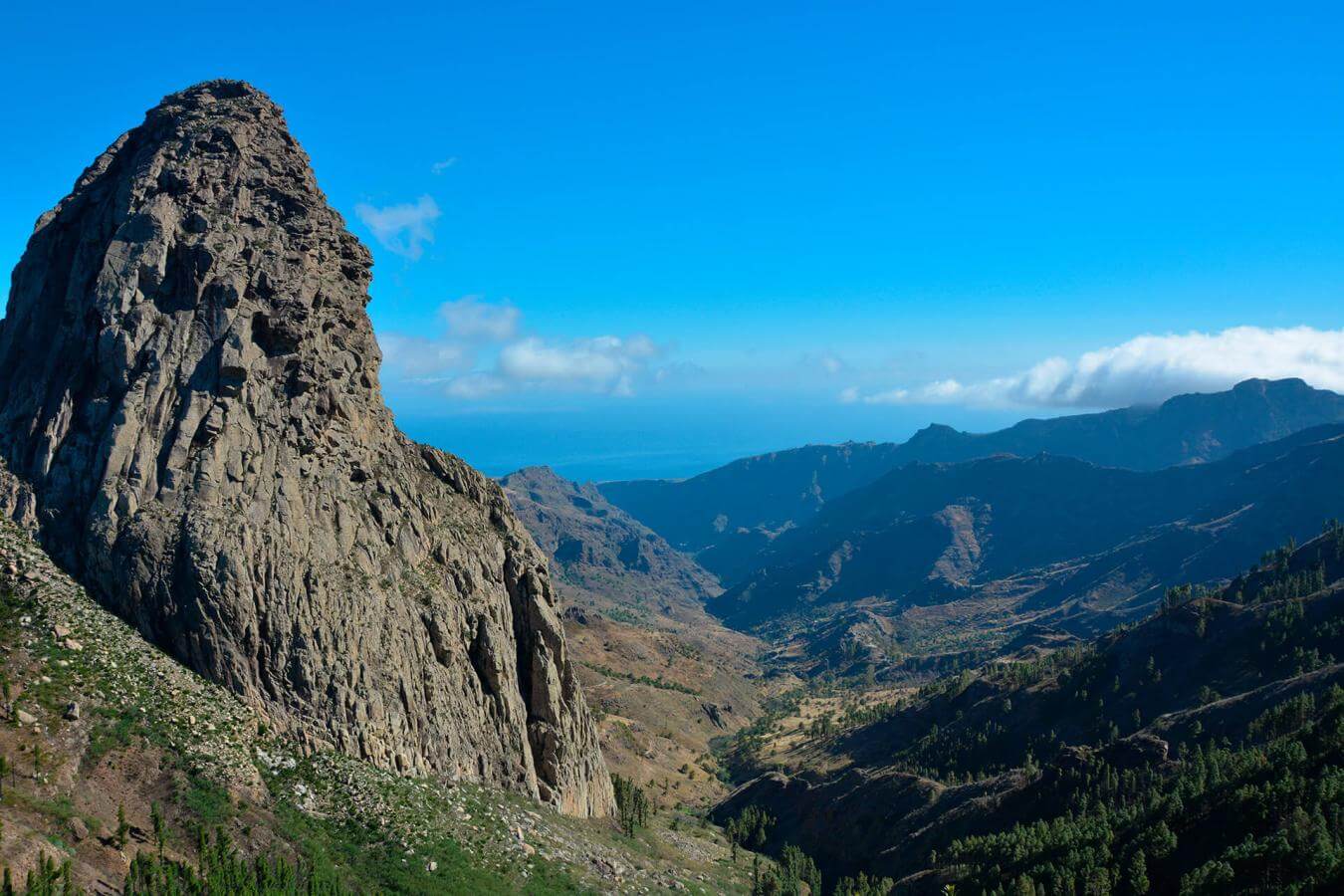
From Los Roques Viewing Point, we continue along the road for just 5 minutes to another of the rocky vantage points: El Bailadero, from where, we get a breathtaking panorama of the northern side of this nature area. It is time to be amazed by endemic plants and animals, which make it rich in biodiversity. In front of us, we see Ojilla and, in the distance, the famous Agando Rock, with an altitude of 1250 metres, between the ravines of La Laja and Benchijigua.

From El Bailadero to El Rejo Viewing Point

From El Bailadero, we twist around El Cedro, a mountainous paradise for hillwalkers and hikers. Once we reach El Rejo, we get an extraordinary postcard image of Hermigua, one of the six municipalities on the island of La Gomera. The toponym, from pre-Hispanic times, means —according to some authors— “place of recollection”. The island economy has historically been based on agriculture. Hermigua is La Gomera’s agricultural pantry, with important banana and vegetable production and a significant amount of rural accommodation.

From El Rejo to Manaderos Viewing Point

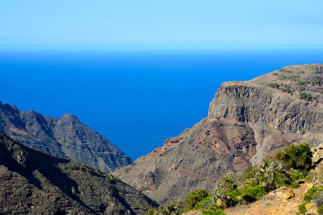
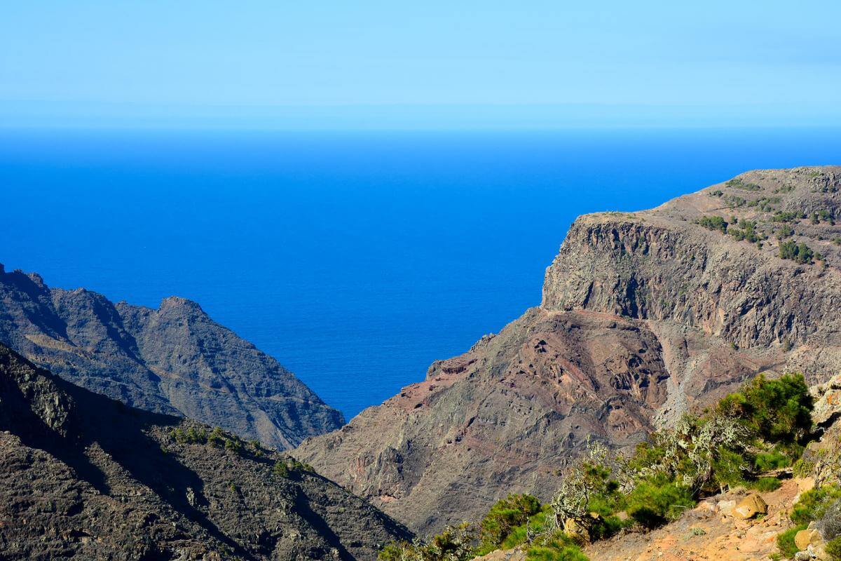
On the road that joins San Sebastián de La Gomera with the Hermigua Valley is the Manaderos Viewing Point. Here we can contemplate the La Laja Ravine. Along its route, the hamlets of Lomito Fragoso y Honduras and Los Chejelipes can be distinguished. The scenery in Chejelipes, to the east of La Gomera, is marked by its three dams, surrounded by beautiful palm groves and crops. The little houses of this disperse hamlet, near the island’s capital, are built on the sides of the ravine.

TENERIFE

TENERIFE

GRAN CANARIA

GRAN CANARIA

FUERTEVENTURA

FUERTEVENTURA

LANZAROTE

LANZAROTE

LA GRACIOSA

LA GRACIOSA

LA GOMERA

LA GOMERA

LA PALMA

LA PALMA

EL HIERRO

EL HIERRO
Sustainability
Sostenibilidad
- Never leave waste of any type lying around, including cigarette butts. Leftover food leads to a proliferation of rats and wild cats, which pose a serious threat to the fauna.
- Use the waste- paper baskets and, insofar as possible, separate and place your recycling waste in the appropriate containers.
- Do not throw any waste or other objects into the sea.
- Respect the animals. Do not bother them or feed them. If you see an injured specimen, you can call the emergency number: 112. Do not pick flowers or plants.
- Do not pick up or take away stones or any other item from the natural environment. And do not move them to pile them up into sadly famous 'towers'.
- In natural spaces and at viewpoints, do not leave the trail or the spaces designated for people to be in.
- Respect and look after the area's historic and cultural heritage, along with the public furniture and items for visitors, such as information panels or telescopes and binoculars.
6
14
9
262
10045